

Utah - Site Map
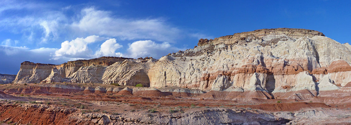
Index of all the Utah Pages on americansouthwest.net
- Anasazi State Park Museum
- Antelope Island State Park
- Arches National Park; Map
- Bear Lake
- Bears Ears National Monument; Map
- Bryce Canyon National Park; Map
- Canyonlands National Park; Map
- Canyon Rims Recreation Area
- Capitol Reef National Park; Map
- Cedar Breaks National Monument
- Cedar Mesa, Grand Gulch and Comb Ridge; Map
- Cisco
- Coral Pink Sand Dunes State Park
- Dark Canyon
- Dinosaur National Monument; Map
- Dixie National Forest; Map
- Dead Horse Point State Park
- Escalante Petrified Forest State Park
- Factory Butte
- Fantasy Canyon
- Fisher Towers
- Flaming Gorge National Recreation Area; Map
- Glen Canyon National Recreation Area; Map
- Goblin Valley State Park
- Golden Spike National Historic Park; Map
- Goosenecks State Park
- Grafton
- Grand Staircase-Escalante National Monument; Map
- Boulder Creek
- Boulder Mail Trail
- Burr Trail
- Catstair Canyon
- Cosmic Ashtray
- Cottonwood Canyon Road
- Death Hollow
- Escalante and Boulder
- Escalante River Trail
- The Gulch
- Hackberry Canyon
- Hell's Backbone Road
- Hole-in-the-Rock Road
- Lower Calf Creek Falls
- Nautilus Rock
- Paria Box
- Paria Rimrocks
- Phipps Wash
- Slot canyons - Escalante River
- Slot canyons - Paria River
- US 89 and the Paria ghost town
- Upper Calf Creek Falls
- Wahweap Hoodoos
- Yellow Rock
- Gunlock State Park
- Henry Mountains
- Hovenweep National Monument
- Kanab
- Kodachrome Basin State Park
- La Sal Mountains; Map
- Little Egypt
- Little Sahara Recreation Area
- McConkie Ranch Petroglyphs
- Mexican Hat
- Moab
- Monument Valley; Map
- Montezuma Canyon
- Mount Timpanogos Region
- Natural Bridges National Monument; Map
- Nebo Loop Scenic Byway
- Nine Mile Canyon; Map
- Parowan Gap
- Potash Road
- Red Canyon
- Red Cliffs National Conservation Area
- Salt Lake Desert
- San Rafael Swell; Map
- Sand Hollow State Park
- Santa Clara River Reserve
- Sego Canyon
- Snow Canyon State Park; Map
- Timpanogos Cave National Monument
- Uinta Mountains; Map
- Valley of the Gods
- Wasatch Mountain State Park
- Yant Flat Cliffs
- Zion National Park;Map
- Hiking
- Angel's Landing
- Cable Mountain
- Canyon Overlook Trail
- Chinle Trail
- Coalpits Wash
- Crawford Wash
- Deertrap Mountain
- Eagle Crags and Lower Mountain
- East Rim Trail
- Echo Canyon
- Emerald Pools
- Hidden Canyon
- La Verkin Creek and Kolob Arch
- Many Pools Canyon
- Northgate Peaks Trail
- Observation Point
- Pa'rus Trail
- Petroglyph Canyon
- Right Fork of North Creek
- Sand Bench Trail
- South Fork of Taylor Creek
- Watchman Trail
- Weeping Rock
- West Rim Trail
- Zion Narrows
- Kolob Canyons
- Kolob Terrace Road
- The Southeast
- Zion Canyon
- Slot canyons
- Weather
- Wildflowers
- Hiking
All Contents © Copyright The American Southwest | Comments and Questions | Contribute | Affiliate Marketing Disclosure | Site Map