

Highlights:
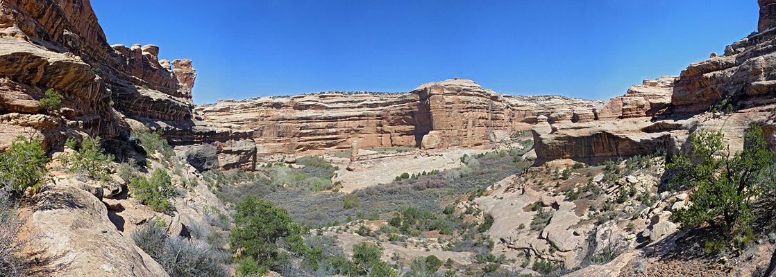
Canyon and mountain wilderness, including many ancient dwellings and rock art sites. Contains 1.35 million acres, extending from low canyons bordering the Colorado and San Juan rivers to the high, forested peaks of the Abajo Mountains. Reduced for a time to two separate units, Indian Creek and Shash Jaa, a total of just over 200,000 acres, but since restored to the original extent
Management:
BLM, USFS, and five local tribes
Location:
37.640, -112.168 (West Bears Ears Butte)
Seasons:
All year, though the lower elevation regions are hot in summer, while the highest areas are snow-covered for several months in winter
Rating (1-5):
★★★★★


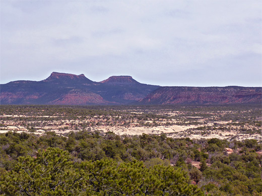
Proposed for many years and finally created in December 2016, Bears Ears National Monument comprises 1.35 million acres in southeast Utah, incorporating several existing preserves including Canyon Rims Recreation Area, Dark Canyon Primitive Area, Grand Gulch Primitive Area and the Abajo Mountain section of Manti-La Sal National Forest. The monument is named after a distinctive rock formation, the Bears Ears Buttes, and when established, extended south to the San Juan River bordering the Navajo Reservation, and west to Glen Canyon and Canyonlands National Park.
The buttes themselves, a pair of broad, flat-topped peaks of Wingate sandstone half a mile apart, are not especially remarkable, though they can be seen over a wide area at the center of the reserve, along highways 261 and 95. These two roads provide the main access - the former heads north from Mexican Hat across the wooded plateau of Cedar Mesa, and the latter, a particularly scenic route, links US 191 between Blanding and White Mesa to Hite, at the upper end of Lake Powell. Other paved roads are US 163 across the southern tip, Hwy 276 to the west, leading to Halls Crossing, and Hwy 211 in the north, continuing to the Needles district of Canyonlands.
The buttes themselves, a pair of broad, flat-topped peaks of Wingate sandstone half a mile apart, are not especially remarkable, though they can be seen over a wide area at the center of the reserve, along highways 261 and 95. These two roads provide the main access - the former heads north from Mexican Hat across the wooded plateau of Cedar Mesa, and the latter, a particularly scenic route, links US 191 between Blanding and White Mesa to Hite, at the upper end of Lake Powell. Other paved roads are US 163 across the southern tip, Hwy 276 to the west, leading to Halls Crossing, and Hwy 211 in the north, continuing to the Needles district of Canyonlands.
Bears Ears Table of Contents
Location
Map of Bears Ears National Monument.
Photographs
All Bears Ears photographs.
Introduction
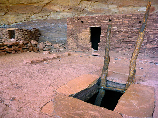
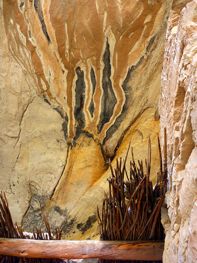
The preserve contains a great variety of canyon and mountain scenery, from desert-like ravines near the Colorado River, around 4,000 feet, to the peaks of the Abajo Mountains, the highest 10,709 foot Mount Linnaeus. The middle section, between roads 95 and 211, centered on Dark Canyon, is largely inaccessible by road and has few official trails, but the southern region, Cedar Mesa, is more readily explored. Besides the natural landscapes, this part of the state is also notable for the tens of thousands of Ancestral Puebloan (or Anasazi) sites - including cliff dwellings, mesatop ruins, pictographs and petroglyphs, found mostly in Grand Gulch and other Cedar Mesa canyons but also in scattered areas further north.
Creation and Modification
The establishment of Bears Ears National Monument was welcomed by the majority of people, especially conservationists, though was opposed by other interests, and party because of this, the protected region was greatly reduced in December 2017, to leave just two distinct areas: the Indian Creek unit near Canyonlands NP and the larger Shash Jaa unit, which contains Comb Ridge, upper Comb Wash and land around the Bears Ears Buttes. Threats to the general area include potash mining and oil/gas development in the northern section, uranium mining at various scattered locations, and extraction of tar deposits near White Canyon. More general problems are illegal off road vehicle use and looting of ancient artefacts, though these have always occurred and it is unclear how, if at all, creation of the national monument affected the situation. Bears Ears has no visitor center and is likely to remain essentially undeveloped, with little visible sign of its presence. The monument was restored to its original size in 2021.
Bears Ears - The South
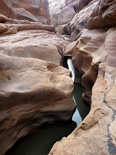
To the southwest is a detached section of the national monument, centered on Mancos Mesa, a remote area of land cut by several canyons, separated from the rest of the preserve by Red Canyon and Red Rock Plateau. The most visited region is east of here and south of Highway 276 and 95; either side of Hwy 261 - this is Cedar Mesa, crossed by dozens of canyons that ultimately drain into the San Juan River - major drainages include Grand Gulch, Slickhorn Canyon and Johns Canyon to the west, and numerous tributaries of Comb Wash to the east. This wash runs down one side of Comb Ridge, an 80-mile long monocline, with a sheer west face and more gentle slopes to the east, containing many short ravines. All major drainages in this section of the national monument contain Ancestral Puebloan remains, and many months could be spent exploring them.
Bears Ears - The North
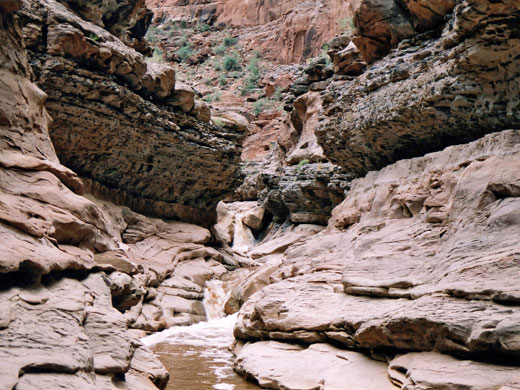
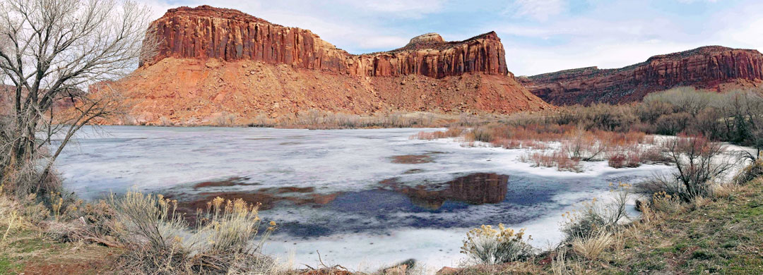
After crossing part of the Abajo foothills and the upper reaches of Cedar Mesa, US 95 continues northwest towards Lake Powell, past Natural Bridges National Monument and all along White Canyon, a long and sometimes deep drainage through light-colored Cedar Mesa sandstone. It has around a dozen major tributaries, and these are generally more narrow, containing lengthy slot sections, often flooded; there are many opportunities for technical canyoneering here, with relatively easy access from the highway. Beyond, to the north, is the much deeper, more remote and harder to reach Dark Canyon system, a branched ravine that extends from the Colorado River to the high mountains, ideal terrain for extended backpacking trips. Further north are two other major Colorado tributaries, Bowdie Canyon and Gypsum Canyon, on the far side of which is the lower relief landscape of Beef Basin, bordering Canyonlands National Park. Highway 211 to the park crosses the monument for 20 miles, most of which is along the wide canyon of Indian Creek, giving access to some interesting tributaries including Lavender and Stevens canyons. The northernmost section of the national monument, formerly part of Canyon Rims Recreation Area, is a relatively narrow band of grassy flats, red cliffs, shallow canyons and rocky basins, extending to Gooseneck Bend beside the Colorado River, beneath Dead Horse Point. The higher elevation section is quite easily reached by a gravel track across Hatch Point.
Locations within Bears Ears National Monument
Beef Basin - hard-to-reach region of grassland and isolated red rocks, containing ancient ruins, rock art and other historic artifacts
Canyon Rims - flat plains, red cliffs, eroded formations and branched ravines, east of the Colorado River and north of the Abajo Mountains
Cedar Mesa - a wooded plateau over 6,500 feet in elevation, split by many branched canyons, of which the largest is Grand Gulch. The plateau and the ravines contain thousands of ancient sites.
Comb Ridge - lengthy escarpment, a monocline, extending from Kayenta in Arizona northwards to the Abajo Mountain foothills. The east side is cut by many short canyons containing Ancestral Puebloan remains.
Dark Canyon - deep, remote canyon system with generally difficult access, extending from the Colorado River to the slopes of the Abajo Mountains, at over 8,000 feet elevation.
Newspaper Rock - cliff of Wingate sandstone adorned with hundreds of petroglyphs, easily viewed along Hwy 211, the paved road to the Needles district of Canyonlands National Park.
Valley of the Gods - isolated, deep red spires and buttes of Cedar Mesa sandstone, similar to Monument Valley. Crossed by a good quality dirt road, popular for primitive camping.
White Canyon - 45 mile-long drainage through pale-colored Cedar Mesa sandstone, forming some slot-sections, and fed by many narrow tributaries.
Featured Bears Ears Trails and Routes
Bullet Canyon
★★★★★
★★★★★
6.7 miles, 900 feet
Large Grand Gulch tributary sheltering two significant Anasazi sites, Perfect Kiva Ruins and Jailhouse Ruins, together with several granaries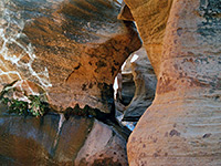
Cheesebox Canyon
★★★★★
★★★★★
8.5 miles, 1000 feet
Lengthy White Canyon tributary leading deep into the wilderness; two forks totaling 15 miles, containing long slots with pools and drop offs, mostly in the upper sections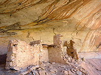
Comb Ridge and Butler Wash
★★★★★
★★★★★
0.2 to 2 miles; various hikes
Numerous petroglyphs, pictographs and Anasazi ruins, in short canyons on the east side of Comb Ridge, an exposed monocline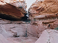
Fortknocker Canyon
★★★★★
★★★★★
4.4 miles, 400 feet
Fairly shallow but scenic and colorful narrows in a rarely-visited east side tributary of White Canyon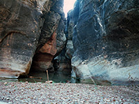
Fry Canyon
★★★★★
★★★★★
1.8 miles, 250 feet
The only major tributary of White Canyon on the west side; a short slot either side of the UT 95 bridge, followed by a wider section, then a dryfall into a deeper slot containing a permanent swimming pool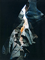
Gravel Canyon
★★★★★
★★★★★
3.9 miles, 200 feet
The longest tributary of White Canyon - a relatively wide, sheer-walled gorge through grey-white sandstone, interrupted by many short narrow sections containing pools and drop offs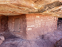
Johns Canyon, West Fork
★★★★★
★★★★★
3 miles, 400 feet (loop), or longer
Two main ruins plus several lesser sites, in the upper end of a relatively little-visited canyon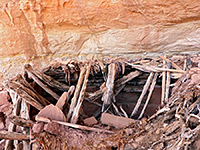
Lime Canyon
★★★★★
★★★★★
6 miles, 650 feet (round trip)
Several ruins along the upper end of a major canyon, one containing a complete kiva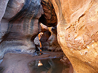
Long Canyon
★★★★★
★★★★★
5.3 miles, 400 feet
East side White Canyon tributary extending for ten miles across a sandstone plateau, and containing short slots with pools and dryfalls, between more extensive, less enclosed sections, but often still with water and minor obstacles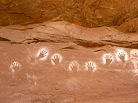
Lower Fish Creek
★★★★★
★★★★★
5 miles, 250 feet
East-side Cedar Mesa canyon with a permanent stream draining into Comb Wash, containing about ten ancient sites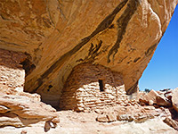
Lower Mule Canyon
★★★★★
★★★★★
1 mile, 100 feet
Downstream end of a long drainage on the east side of Cedar Mesa, containing several groups of ruins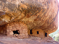
Mule Canyon, South Fork
★★★★★
★★★★★
4.3 miles, 250 feet
Fairly shallow, level and easily explored canyon close to UT 95, containing at least eight groups of ruins, some quite large and intricate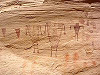
Sheiks Canyon
★★★★★
★★★★★
3 miles, 800 feet
Short tributary of Grand Gulch containing several Anasazi dwellings including Yellow House Ruins and Green Mask Ruins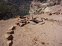
Slickhorn Canyon
★★★★★
★★★★★
2.5 miles, 800 feet
San Juan River tributary with four relatively short upper forks, all containing Anasazi ruins and pictographs, explorable on day hikes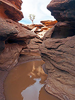
Steer Gulch
★★★★★
★★★★★
8 miles, 400 feet (loop)
Treeless, mostly shallow canyon with occasional pools and narrow channels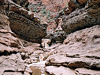
Sundance Trail
★★★★★
★★★★★
3 miles, 1120 feet
The easiest Dark Canyon entry route, descending via a steep-sided ravine into one of the deepest sections of the gorge towards the lower end, opposite Lean-To Canyon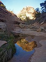
Todie Canyon
★★★★★
★★★★★
2 miles, 600 feet
Relatively short but steeply sloping ravine used as a route to Grand Gulch; contains a shallow stream and a few inaccessible ruins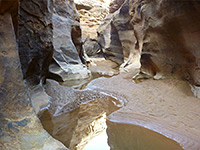
White Canyon
★★★★★
★★★★★
5 miles, 400 feet
Major drainage running for over 30 miles alongside UT 95; moderately narrow for most of its length and forming several slot sections, in particular the permanently flooded Black HoleBears Ears - Nearby Places
- Canyonlands National Park - spectacular canyon country, mostly roadless; adjoins the northern section of Bears Ears NM
- Glen Canyon National Recreation Area - canyons and plateaus either side of Lake Powell along the Colorado River; borders the southern portion of Bears Ears
Bears Ears - Similar Places
- Canyons of the Ancients National Monument, Colorado - wooded mesas and shallow, branched canyons, containing thousands of Ancestral Puebloan sites
- Mesa Verde National Park, Colorado - the Southwest's largest collection of ancient ruins
All Contents © Copyright The American Southwest | Comments and Questions | Contribute | Affiliate Marketing Disclosure | Site Map