

Highlights:
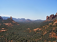
Arizona's second most popular destination; peaceful town with all necessary visitor facilities, surrounded by beautiful red rock hills and ravines, centered on the deep canyon of Oak Creek
Nearby town:
Management:
Most of the surroundings are national forest land, administered by the USFS
Location:
Seasons:
All year. Some trails may be affected by snow in winter, while summer temperatures often exceed 100°F
Rating (1-5):
★★★★★
Weather:



Sedona is part of the Indian Lands itinerary
Featured Hotel
Hampton Inn Sedona
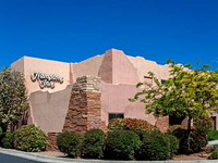 Part of the main commercial area in Sedona, along US 89, close to many shops and restaurants. Guest rooms have views of the outdoor pool, or the red slopes of Capitol Butte
Check Rates
The two main routes south of Flagstaff are interstate 17 to Phoenix and the slower, much more scenic AZ 89A, which passes through thick pine forests for 10 miles before descending suddenly and spectacularly into Oak Creek Canyon, a steep, narrow and very colorful gorge that is at the center of the second most visited area in Arizona, after the Grand Canyon. The town of Sedona is situated at the southern end of the canyon where the cliffs open out, and provides a base for exploring the surrounding lands, which include many other canyons and an extensive, scenic red-rock wilderness in all directions.
Sedona was established in 1902 but did not become a popular destination until the 1960s, since when it has become a well known center for various kinds of artistry, and a magnet for wealthy retirees, for followers of new age religions and for people just wanting to escape the pressures of city life.
Sedona was established in 1902 but did not become a popular destination until the 1960s, since when it has become a well known center for various kinds of artistry, and a magnet for wealthy retirees, for followers of new age religions and for people just wanting to escape the pressures of city life.
Sedona Table of Contents
- Photographs
- Introduction
- General Sedona information, including map, trails and weather
- Nearby parks; Crescent Moon Ranch, Red Rock and Slide Rock
- Wildflowers of Sedona
- Featured Sedona hikes
Photographs
All Sedona photographs.
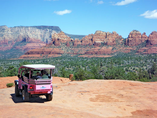
Introduction
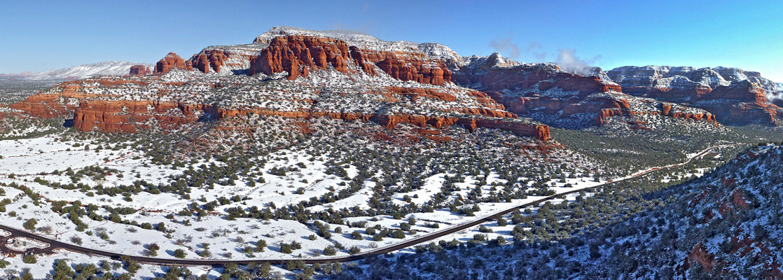
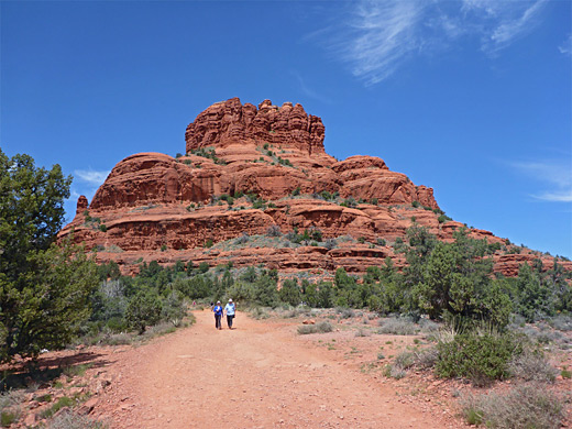
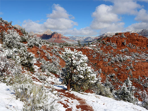
Sedona has a pretty location surrounded by large red and white sandstone cliffs and buttes, with contrasting greenery provided by a mixture of trees, bushes and cacti. A small steepish zone with no building development separates the town into two parts; the downtown area is centered around the AZ 89A - AZ 179 road junction, where most of the art galleries, restaurants and tourist facilities are found. The larger second section (West Sedona) is two miles to the southwest, along Highway 89A, and contains the main residential area, with more conventional shops and amenities. See the map of Sedona for other points of interest in the vicinity.
Sedona General Information
- Sedona Information - general description of the town, hiking and wilderness areas
- Sedona Map, showing the location of all major trails, mountains and canyons
- Sedona Trails - route descriptions for all maintained trails near Sedona
- Sedona Weather - weather and climate information
Nearby Sites and Parks
Historic ranch beside Oak Creek; meadows, old buildings, reflective pools and views of Cathedral Rock
Wooded stretch of Oak Creek, along which are several short trails, through the riparian areas and over the arid hills on the east side
Scenic section of Oak Creek with swimming/wading pools, unusual slippery rocks, and an old homestead - a very popular location for wading, swimming and sunbathing, especially in summer
Sedona Wildflowers
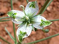
Wildflowers
Photographs and descriptions of flowering plants found around Sedona and Oak Creek Canyon
Photographs and descriptions of flowering plants found around Sedona and Oak Creek Canyon
Featured Sedona Trails
All Sedona trails.
AB Young
★★★★★
★★★★★
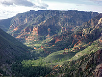
2.5 miles, 2000 feet
This short but very steep trail ascends the west side of Oak Creek Canyon, leading to the East Pocket Knob look-out tower on a wooded plateau at 7,200 feet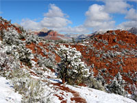
Airport Loop
★★★★★
★★★★★
3.2 miles, 150 feet
Mostly shadeless loop path that circles the flat summit of Table Top Mountain, site of Sedona Airport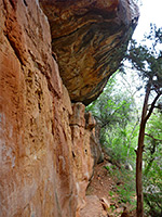
Allens Bend
★★★★★
★★★★★
0.5 miles, level
Short route alongside a tranquil, wooded section of Oak Creek, running partly beneath low red cliffs of Supai sandstone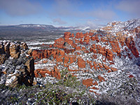
Bear Mountain
★★★★★
★★★★★
2.4 miles, 1800 feet
The relatively short but quite challenging hike to the top of Bear Mountain is one of many paths reached along Dry Creek Road (FR 152)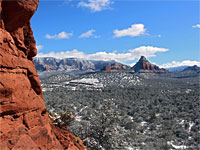
Birthing Cave
★★★★★
★★★★★
0.9 miles, 250 feet
Path across level, bushy terrain, followed by a short, steep ascent to a photogenic alcove in the Schnebly Hill sandstone at the edge of Mescal Mountain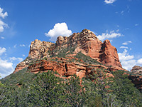
Boynton Canyon
★★★★★
★★★★★
3 miles, 500 feet
The hike along red walled Boynton Canyon is very popular - it has no difficult spots apart from a short uphill section at the very end, to a viewpoint with high red cliffs on three sides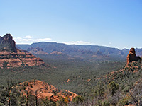
Brins Mesa/Soldier Pass
★★★★★
★★★★★
5.5 miles, 600 feet
Loop hike along two wide valleys, climbing up to a high plateau (Brins Mesa), which gives good views of red rock peaks and cliffs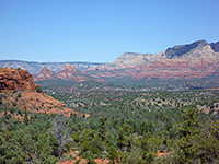
Broken Arrow
★★★★★
★★★★★
1.5 miles, 300 feet
The Broken Arrow Trail offers a quick route into red rock landscape; the path is easy and well used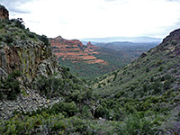
Casner Canyon
★★★★★
★★★★★
2.6 miles, 1500 feet
Lightly used path up a wide, east-side tributary of Oak Creek, up to the volcanic plateau and on to Schnebly Hill Viewpoint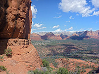
Cathedral Rock
★★★★★
★★★★★
0.7 miles, 600 feet
This short hike leads to the base of one of Sedona's most famous buttes, starting from the Back of Beyond Road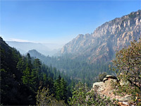
Cookstove and Harding Springs
★★★★★
★★★★★
2.6 miles, 800 feet (loop)
Two short but steep routes to the rim of Oak Creek Canyon, near its northern end, linked by paths alongside a wooded section of the creek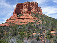
Courthouse Butte
★★★★★
★★★★★
3.4 miles, 200 feet (loop)
Loop around the famous Sedona landmarks of Bell Rock and Courthouse Butte, alongside Hwy 179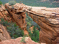
Devils Bridge
★★★★★
★★★★★
1.9 miles, 300 feet
Hike from Dry Creek Road to a large natural arch in the red Supai sandstone cliffs on the north side of Capitol Butte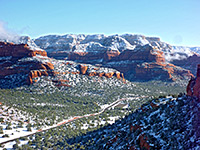
Doe Mountain
★★★★★
★★★★★
0.7 miles, 400 feet
Doe Mountain is an isolated, 450 foot high mesa with a perfectly flat top, reached by an easy trail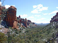
Fay Canyon
★★★★★
★★★★★
1 miles, 250 feet
Fay is a short red rock box canyon containing a natural arch, a seasonal stream, and a collection of desert plants typical of the lower elevations around Sedona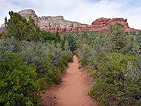
Long Canyon
★★★★★
★★★★★
3.7 miles, 1000 feet
Lengthy, increasingly overgrown canyon enclosed by high red and orange cliffs. Not often explored, especially the upper end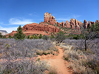
Margs Draw
★★★★★
★★★★★
2 miles, 200 feet
Bushy drainage on the east side of Sedona, at the foot of dramatic red rocks; crossed by a lesser-used trail, through woodland and over sandy flats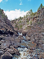
Munds Canyon
★★★★★
★★★★★
2 miles, 500 feet
Off trail route across a forested plateau and into a boulder-filled, basalt-walled gorge containing a permanent stream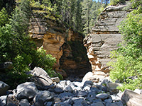
Pumphouse Wash
★★★★★
★★★★★
2.9 miles, 450 feet
Scenic narrows, cascades, pools and extensive flooded slot-like channels along an upper tributary of Oak Creek, all enclosed by high, cream-colored Coconino sandstone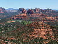
Schuerman Mountain
★★★★★
★★★★★
0.8 miles, 360 feet
Short climb to the edge of a mesa, overlooking all of Sedona; path continues across the grassy mesa top to an alternative trailhead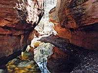
Secret Canyon
★★★★★
★★★★★
4.4 miles, 800 feet
Rewarding hike along one of Sedona's longer canyons, the upper stretches of which are wooded, quite enclosed, and contain a permanent stream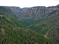
Thomas Point
★★★★★
★★★★★
1 mile, 900 feet
This short but steep path climbs the east side of Oak Creek Canyon, mostly through open, bushy land with good views up and down the ravine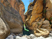
Upper Woods Canyon
★★★★★
★★★★★
4 miles, 1150 feet
Upstream end of a long canyon, starting as a shallow valley in the pine woods, deepening through layers of grey basalt, giving way to a narrow, sheer-walled sandstone gorge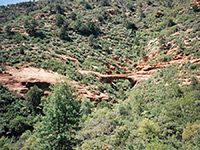
Vultee Arch/Sterling Pass
★★★★★
★★★★★
1.6/2.4 miles, 400/1100 feet
Two trails that meet at a viewpoint of a graceful sandstone arch, on the far side of a forested canyon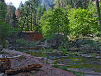
West Fork of Oak Creek
★★★★★
★★★★★
3.1 miles, 160 feet
Perhaps the best hike in the Sedona area, along a deep, narrow, forested canyon with a permanent stream bordered by dramatic red rocks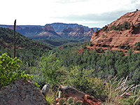
Wilson Canyon
★★★★>★
★★★★>★
1.2 miles, 300 feet
Route into a box canyon, alongside a wooded streambed with occasional, seasonal pools, then up to a grand viewpoint above the trees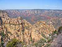
Wilson Mountain
★★★★★
★★★★★
4.5 miles, 2450 feet
This is the most strenuous trail in the Sedona area, and with the highest elevation gain, but of course the views at the top of the mountain are excellent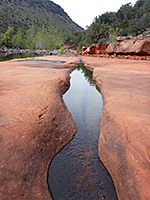
Woods Canyon
★★★★★
★★★★★
4.9 miles, 450 feet
Easy walk up a low elevation canyon containing permanent pools and red rock outcropsAll Contents © Copyright The American Southwest | Comments and Questions | Contribute | Affiliate Marketing Disclosure | Site Map