Viewpoints of the Colorado River: Lava Falls Trail, Grand Canyon
Highlights of the West > Colorado River Viewpoints
 | |||
|
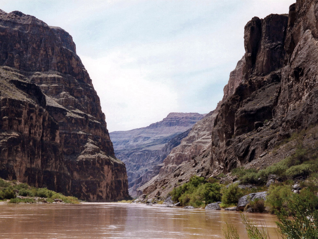
The Lava Falls Trail is difficult not only because of its steepness, descending 2,540 feet in just 1.5 miles, but also on account of the complete lack of shade, and the unstable slopes along most of the way. The trail is reached by a 2 mile side track off the long, unpaved road to Toroweap Point (Tuweep), the last part of which is rather rough. The trail reaches the Colorado River just upstream of Lava Falls Rapids, the last remnant of a big wall of lava that once dammed the Grand Canyon at this point.
Lava Falls Trail - full description
Lava Falls Trail - full description

All Contents © Copyright The American Southwest | Comments and Questions | Contribute | Affiliate Marketing Disclosure | Site Map