Viewpoints of the Colorado River: Potash Road, Moab
Highlights of the West > Colorado River Viewpoints
 | |||
|
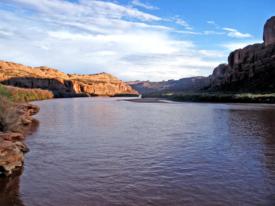
Either side of Moab, the Colorado flows through spectacular red rock canyons, which are quite wide, allowing a paved road to follow close to the waters edge - Hwy 128 to the east and Hwy 279 (Potash Road) to the west. In addition to Arches National Park, there are many other interesting sites nearby, including narrower canyons, eroded formations, other arches, and ancient petroglyphs. Potash Road is much the quieter route, and extends for 15 miles, as far as an active mine; beyond here, the next approach of a road to the river is not for 60 miles (in a straight line) - at Hite, by the north end of Lake Powell.
Potash Road - full description
Potash Road - full description

All Contents © Copyright The American Southwest | Comments and Questions | Contribute | Affiliate Marketing Disclosure | Site Map