Week 4 - El Paso to Phoenix; Into Arizona
Calendar
| ||||||||||||||||||||||||||||||||||||||||||
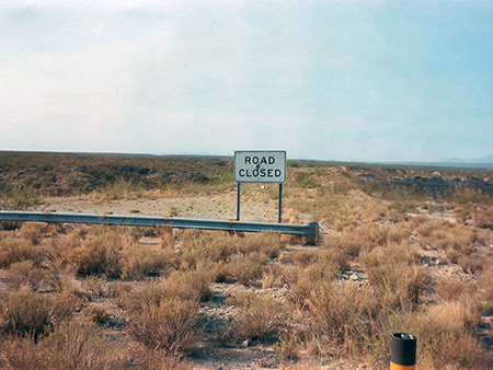
We didn't have time to stop, and drove ever onwards, stopping at Lordsburg for refuelling, and then soon after started looking for somewhere to stay the night. First candidate was Johnson, marked on the map as a ghost town, but there was no sign of it once we left the interstate, only recent mining buildings, so after twenty minutes driving along dusty tracks, Mandy executed a perfect 17-point turn and we went back, crossing the highway to Dragoon. This was an especially lifeless place, with lots of litter and no suitable stopping places. Ten miles further west we tried a small road leading up into the Rincon Mountains, through Pomerene. This quickly became a dusty dirt track but after a few miles there was an ideal place on an abandoned road with a good view of the valley below. Many spent cartridge cases, broken bottles and holes in nearby road signs suggested this was a popular shooting area. At the time of our visit there were several serious forest fires in the Tucson area; in the afternoon smoke from one of these, in the Rincon Mountains, blocked out the sun which made for a very peculiar orange light as evening approached. When dark fell there was no sound, and only the twinkling lights of Benson in the distance below to remind us of civilisation.
All Contents © Copyright The American Southwest | Comments and Questions | Contribute | Affiliate Marketing Disclosure | Site Map