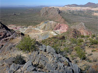
Desert View Trail, Organ Pipe Cactus National Monument
Arizona > Organ Pipe Cactus National Monument > Desert View Trail
Desert View Trail
Loop across a stony hillside near the park campground, covered with many and varied desert plants; good views of the flat plains to the south
Length: 1.2 miles (loop)
Elevation change: 170 feet
Difficulty: Easy
Type: Loop, maintained trail
Usage: High
Season: All year
Trailhead: End of the paved road through the campground
Rating (1-5): ★★★★★
Elevation change: 170 feet
Difficulty: Easy
Type: Loop, maintained trail
Usage: High
Season: All year
Trailhead: End of the paved road through the campground
Rating (1-5): ★★★★★


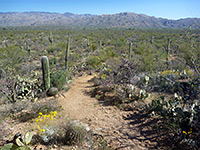
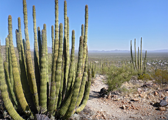
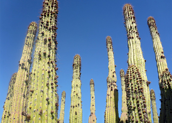
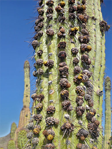
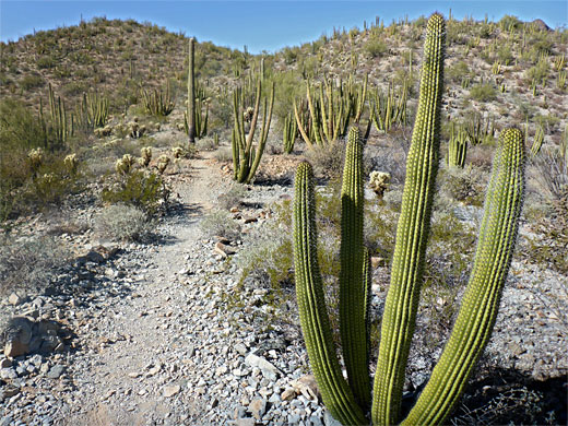
Four trails start from the Twin Peaks Campground in Organ Pipe Cactus National Monument - a not so interesting circuit of the campground itself, a connecting route (Palo Verde Trail) to the visitor center, the interesting path to Victoria Mine, and, the most used, the Desert View Trail, a 1.2 mile loop that climbs to the crest of a low ridge, giving great views south towards Mexico, and passing many large cacti; organ pipes are plentiful, as are saguaro, though there are none of the other columnar cactus in the park, the senita, which is only found in a sheltered basin a little further south.
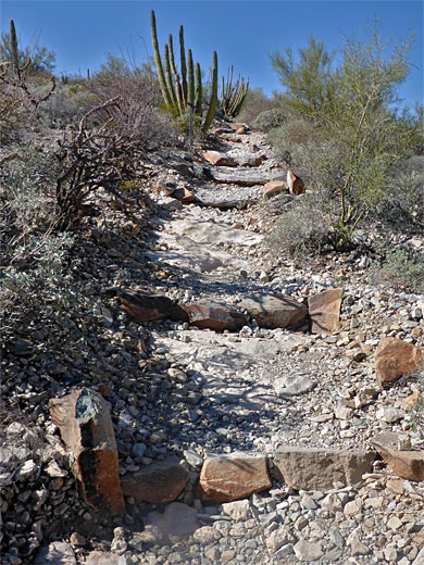
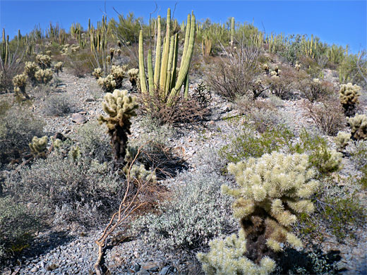
The Desert View Trail is a good choice for sunset, gaining enough elevation, 170 feet, to overlook many miles of the desert and so experience the setting sun on the reddish slopes of the surrounding mountains, including the Ajo Range to the east. There are several benches along the route from which to enjoy the views, and the path is fairly wide and well constructed, ascending via several flights of stone or log steps. Notices along the way give information about the animals and vegetation of the Sonoran Desert; other common plants include barrel cactus, chain and teddy bear cholla, prickly pear, ocotillo, desert ironwood and brittlebush.
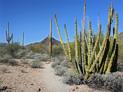
The Desert View trailhead is at the end of a short, paved road on the northwest side of the campground; quite a large parking area, next to some restrooms, on the floor of a shallow valley. Clockwise is the recommended direction for the loop, and the path starts by crossing a stony dry wash then zig-zagging up the slope beyond, encountering a number of very large organ pipe clusters. It soon reaches the top of the ridge, allowing the first views to the west, across a few minor peaks to the higher Sonoyta and Puerto Blanco mountains in the distance. The path runs northwards along the ridgeline a little way before moving away to the east, back down the slope and over the wash a second time, continuing a little way up the opposite hillside, a slightly bushier area. The final section is south, across a service road leading to a water tank, and then west, returning to the trailhead.
The Desert View Trail is a good choice for sunset, gaining enough elevation, 170 feet, to overlook many miles of the desert and so experience the setting sun on the reddish slopes of the surrounding mountains, including the Ajo Range to the east. There are several benches along the route from which to enjoy the views, and the path is fairly wide and well constructed, ascending via several flights of stone or log steps. Notices along the way give information about the animals and vegetation of the Sonoran Desert; other common plants include barrel cactus, chain and teddy bear cholla, prickly pear, ocotillo, desert ironwood and brittlebush.
The Trail
The Desert View trailhead is at the end of a short, paved road on the northwest side of the campground; quite a large parking area, next to some restrooms, on the floor of a shallow valley. Clockwise is the recommended direction for the loop, and the path starts by crossing a stony dry wash then zig-zagging up the slope beyond, encountering a number of very large organ pipe clusters. It soon reaches the top of the ridge, allowing the first views to the west, across a few minor peaks to the higher Sonoyta and Puerto Blanco mountains in the distance. The path runs northwards along the ridgeline a little way before moving away to the east, back down the slope and over the wash a second time, continuing a little way up the opposite hillside, a slightly bushier area. The final section is south, across a service road leading to a water tank, and then west, returning to the trailhead.
Desert View Wildflower
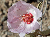 Paleface rock hibiscus |