Bonito Vista and Lava Flow Trails, Sunset Crater Volcano National Monument
Arizona > Sunset Crater Volcano National Monument > Bonito Vista and Lava Flow Trails
Bonito Vista and Lava Flow Trails
The two most popular paths in the national monument; a short walk to a viewpoint of a field of lava, and a loop around volcanic features at the foot of Sunset Crater
Length: 0.15 miles (Bonito Vista), 0.9 mile loop (Lava Flow)
Elevation change: Level, 50 feet
Difficulty: Easy
Type: One way, loop
Usage: High, high
Season: All year
Trailhead: Parking lot along the main road, Hwy 395
Rating (1-5): ★★★★★
Elevation change: Level, 50 feet
Difficulty: Easy
Type: One way, loop
Usage: High, high
Season: All year
Trailhead: Parking lot along the main road, Hwy 395
Rating (1-5): ★★★★★


Like all the small number of hikes in Sunset Crater National Monument, the Bonito Vista and Lava Flow trails are short, and easy; the former, just 0.15 miles, leads to an overlook of an extensive area of black lava, without any trees or bushes, while the latter, a 0.9 mile loop, passes a variety of volcanic formations at the base of Sunset Crater. Both paths start from the main parking lot along Hwy 395, the one road through the monument, and the two can be seen in less than an hour.
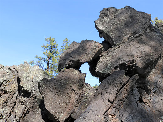
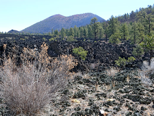
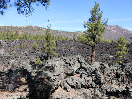
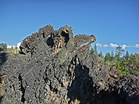
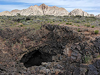
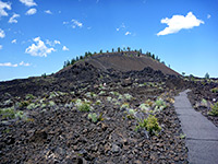
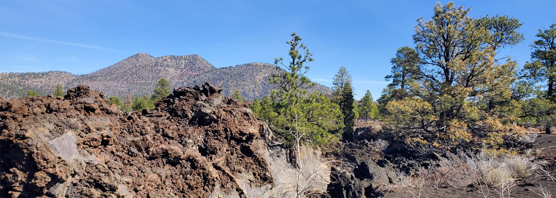
The lava formations adjoin a partly wooded hill to the south that makes a good contrast to the mostly unvegetated lava, which is a mix of the jagged a'a type and smoother pahoehoe form. Other features along the Lava Flow Trail include spatter cones, fissures, squeeze-ups and lava caves, though the one previously famous example, the Ice Cave, has been closed since 1987 following partial collapse of its roof.
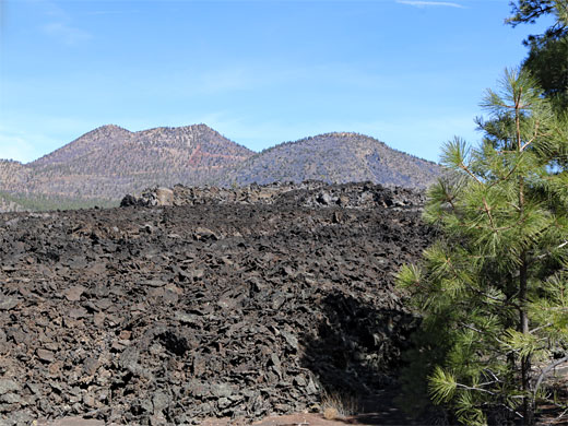
The Bonito Vista Trail starts from the east end of the parking lot and links with a short westwards connector to the Lenox Crater Trail. It crosses a flat area of black volcanic gravel with scattered trees, to the final viewpoint, on a small mound of lava blocks looking out across a much bigger flow to the south and west, completely lacking any vegetation.
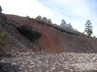
The Lava Flow path begins on the east side of the parking area and is initially paved, and accompanied by notices about the geology and wildlife. Illustrations on two of these are mostly red, which makes a striking contrast with the largely black and green landscape. The paved, accessible section concludes with an 900 foot loop, while the longer path branches of this just right of the initial junction. The path descends into a cinder/gravel basin, passing a few isolated trees, then turns north, rises and comes alongside the closed Ice Cave, a tiny vent of which is also securely sealed. Nearby is a fine example of a spatter cone. The trail then turns back east, winding through more lava, cinder and trees and meets the far side of the paved loop. Overall, though short, the hike provides good, changing views, of Lenox Crater and the San Francisco Peaks to the west, Sunset Crater to the east, and a distinctive red cinder cone to the north.
The lava formations adjoin a partly wooded hill to the south that makes a good contrast to the mostly unvegetated lava, which is a mix of the jagged a'a type and smoother pahoehoe form. Other features along the Lava Flow Trail include spatter cones, fissures, squeeze-ups and lava caves, though the one previously famous example, the Ice Cave, has been closed since 1987 following partial collapse of its roof.

Bonito Vista Trail
The Bonito Vista Trail starts from the east end of the parking lot and links with a short westwards connector to the Lenox Crater Trail. It crosses a flat area of black volcanic gravel with scattered trees, to the final viewpoint, on a small mound of lava blocks looking out across a much bigger flow to the south and west, completely lacking any vegetation.


Lava Flow Trail
The Lava Flow path begins on the east side of the parking area and is initially paved, and accompanied by notices about the geology and wildlife. Illustrations on two of these are mostly red, which makes a striking contrast with the largely black and green landscape. The paved, accessible section concludes with an 900 foot loop, while the longer path branches of this just right of the initial junction. The path descends into a cinder/gravel basin, passing a few isolated trees, then turns north, rises and comes alongside the closed Ice Cave, a tiny vent of which is also securely sealed. Nearby is a fine example of a spatter cone. The trail then turns back east, winding through more lava, cinder and trees and meets the far side of the paved loop. Overall, though short, the hike provides good, changing views, of Lenox Crater and the San Francisco Peaks to the west, Sunset Crater to the east, and a distinctive red cinder cone to the north.