

Mica View Trail, Saguaro National Park
Arizona > Saguaro National Park > East > Hiking > Mica View Trail
Mica View Trail
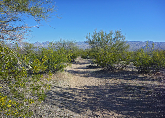
Wide, level path through open terrain with saguaro and bushes; views of the Santa Catalina Mountains. Forms a loop with part of the Cactus Forest Trail
Length: 2 miles
Elevation change: 40 feet
Difficulty: Easy
Type: Loop
Usage: Medium to high
Season: Best from fall to spring
Trailhead: Mica View picnic area, along the Cactus Forest Drive
Rating (1-5): ★★★★★
Elevation change: 40 feet
Difficulty: Easy
Type: Loop
Usage: Medium to high
Season: Best from fall to spring
Trailhead: Mica View picnic area, along the Cactus Forest Drive
Rating (1-5): ★★★★★


The northwest section of the Rincon Mountains district of Saguaro National Park is crossed by a complex network of trails that allow for many loop hikes, long and short. The terrain is fairly gentle; nearly level overall, crossed by shallow dry washes and rising slightly to low plateaus, and most paths encounter similar scenery.
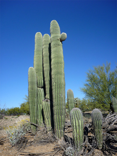
One of the shortest and most popular is the 2 mile Mica View Loop, linking two trailheads, one just off Cactus Forest Drive, the other right on the northern park boundary along Broadway Road, adjoining a developed area and so popular as an exercise route for local residents. The trail traverses mostly open ground with good views of the surrounding mountains, and passes the usual wide variety of cacti and other Sonoran Desert plants.
Map of the east section of Saguaro National Park.
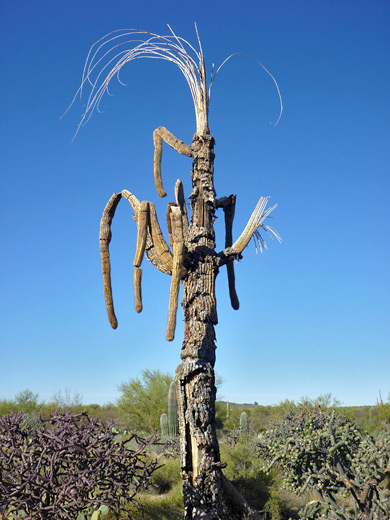
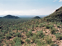
The southern trailhead for the loop hike is at the Mica View picnic area, reached by a smooth, one mile dirt road branching off the one-way Cactus Forest Drive. The wide, flat, well-used trail heads due north across clean, coarse granitic sand through lightly vegetated land covered by bushes, palo verde trees and many cacti, including four types of cholla (pencil, chain fruit, buckhorn and staghorn). The views west are across a relatively narrow section of the national park to the houses on the far side of Freeman Road, less than one mile away. The surroundings open out even more towards the northern end of the trail, where empty patches of sand separate the bushes and cacti, and the Santa Catalina Mountains are clearly visible ahead. The path ends at the Broadway trailhead, a popular location since it is more easily reached than Mica View, and no entry fee is required.
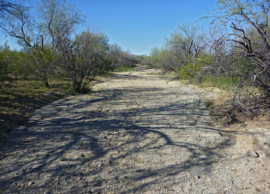
After a very short segment of the Shantz Trail eastwards, the loop continues south along the Cactus Forest Trail, through similarly flat surroundings. Now the mountain ahead is Tanque Verde Ridge, rising up less than 2 miles south. The trail crosses two shallow washes and descends slightly to the larger Javelina Wash, surrounded by mesquite trees and bushes but no cacti. The next section of the route can either be along the sandy streambed of the wash, or the parallel trail just beyond, to a junction with the southern end of the Mica View Trail, from where the trailhead is 0.2 miles further, reached after climbing out of the shallow, overgrown valley into more open surroundings.
One of the shortest and most popular is the 2 mile Mica View Loop, linking two trailheads, one just off Cactus Forest Drive, the other right on the northern park boundary along Broadway Road, adjoining a developed area and so popular as an exercise route for local residents. The trail traverses mostly open ground with good views of the surrounding mountains, and passes the usual wide variety of cacti and other Sonoran Desert plants.
Location
Map of the east section of Saguaro National Park.
Mica View Trail
The southern trailhead for the loop hike is at the Mica View picnic area, reached by a smooth, one mile dirt road branching off the one-way Cactus Forest Drive. The wide, flat, well-used trail heads due north across clean, coarse granitic sand through lightly vegetated land covered by bushes, palo verde trees and many cacti, including four types of cholla (pencil, chain fruit, buckhorn and staghorn). The views west are across a relatively narrow section of the national park to the houses on the far side of Freeman Road, less than one mile away. The surroundings open out even more towards the northern end of the trail, where empty patches of sand separate the bushes and cacti, and the Santa Catalina Mountains are clearly visible ahead. The path ends at the Broadway trailhead, a popular location since it is more easily reached than Mica View, and no entry fee is required.
Cactus Forest Trail
After a very short segment of the Shantz Trail eastwards, the loop continues south along the Cactus Forest Trail, through similarly flat surroundings. Now the mountain ahead is Tanque Verde Ridge, rising up less than 2 miles south. The trail crosses two shallow washes and descends slightly to the larger Javelina Wash, surrounded by mesquite trees and bushes but no cacti. The next section of the route can either be along the sandy streambed of the wash, or the parallel trail just beyond, to a junction with the southern end of the Mica View Trail, from where the trailhead is 0.2 miles further, reached after climbing out of the shallow, overgrown valley into more open surroundings.
Mica View Trail - Similar Hikes
All Contents © Copyright The American Southwest | Comments and Questions | Contribute | Affiliate Marketing Disclosure | Site Map