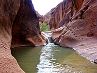
South Checkerboard Mesa Canyon, Zion National Park
Utah > Zion National Park > Hiking > South Checkerboard Mesa Canyon
South Checkerboard Mesa Canyon
Off-trail hike around two upper forks of an unnamed drainage south of Checkerboard Mesa; pools, dryfalls, cliffs and narrows
Length: about 6 miles, round trip
Elevation change: 470 feet up, then 930 feet down
Difficulty: Moderate to strenuous
Type: Partial loop; mostly a route rather than a trail
Usage: Very low
Season: All year, though hot and exposed in summer
Trailhead: Pullout on the north side of Hwy 9
Rating (1-5): ★★★★★
Elevation change: 470 feet up, then 930 feet down
Difficulty: Moderate to strenuous
Type: Partial loop; mostly a route rather than a trail
Usage: Very low
Season: All year, though hot and exposed in summer
Trailhead: Pullout on the north side of Hwy 9
Rating (1-5): ★★★★★


There are upwards of 20 tributary canyons on the north side of the East Fork of the Virgin River (Parunuweap Canyon) in Zion National Park, most lacking an official designation; one lies due south of the famous peak of Checkerboard Mesa so might be named South Checkerboard Mesa Canyon. This has two upper branches, which form short sections of slot canyon, becomes deeper below the confluence, and meets the river 0.8 miles further. This lower section contains several sheer drops, so cannot be seen by regular hiking, but the two upper forks can, albeit with climbing in and out to reach different sections, making a round-trip hike of about 6 miles.
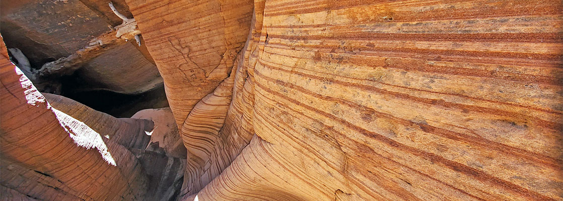
The surrounding rocks, all Navajo sandstone, are richly colored and in some parts of the canyons are crossed by thin darker bands, making the passageways extra pretty. All this area is very little explored, though the approach, up a ravine on the west side of Checkerboard Mesa, does have a distinct path, used to reach Misery Canyon and Parunuweap Canyon itself.
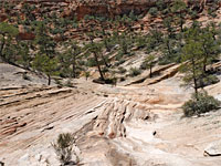
A suitable parking place for the hike is a pullout on the north side of Hwy 9, a quarter of a mile west of Checkerboard Mesa, just west of a small drainage that separates the mesa from the adjacent peak (Crazy Quilt Mesa). The route is across the open ground by the road, then along the dry streambed, which soon becomes wooded and shady, as cliffs close in on either side. After a dryfall, passed by a path on the left, the hike proceeds through mix of other short trails, and streambed walking, gradually becoming steeper, and the last part rather sandy, up to a breezy saddle, 1.3 miles from the highway.
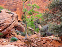
Just south of the saddle is a small drainage that eventually forms the west fork of South Checkerboard Mesa Canyon. The streambed moves to the southeast, over generally open terrain, overgrown in just a few places, mostly across slickrock, past scattered boulders. At one point a tiny stream flows a short distance, originating from a seep, below a leaning pine tree. The streambed starts to descend some more, into a bowl, as the big red cliffs on the far side of Parunuweap Canyon can be seen in the distance. It then falls away vertically by 100 feet or so into an enclosed ravine, but a side canyon to the west offers a way down, quite a long descent, overgrown and with a few drop-offs to pass but eventually reaching the floor of the main canyon. From here it is possible to walk back upstream to see the dark, sheer-walled canyon below the 100 foot drop.
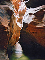
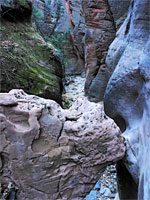
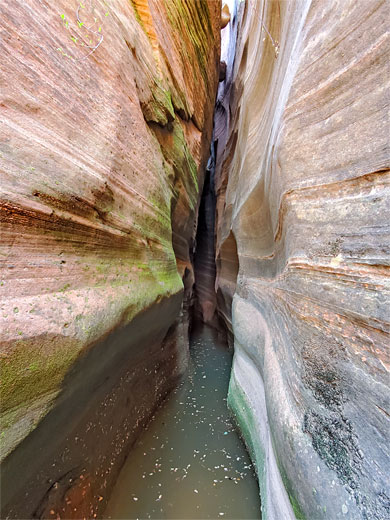
Downstream offers easy walking, for 700 feet, to the confluence with the east fork. Just below this is a twisting slot through stripy sandstone, soon dropping away beyond a big boulder, ten feet above a pool, with more narrows beyond; not easy to explore without ropes. Instead, the east fork can be followed; it soon has a short slot followed by an open stretch, and a narrower section with pools, passable on the left. Above is another good slot section which may be entered from the lower end; it has a sandy floor, and ends with a fall beneath a chokestone, not climbable. The bypass route is back a little bit, up a short ravine to the west, and across the slopes above, rejoining the canyon just before an another shallow slot with small pools. There is then one bigger pool, after which the canyon becomes shallow and there are no more narrows. The return route is further upstream along the drainage then cross country to the northwest, back to the shallow part of the west fork, up to the saddle and back down to the road.
The surrounding rocks, all Navajo sandstone, are richly colored and in some parts of the canyons are crossed by thin darker bands, making the passageways extra pretty. All this area is very little explored, though the approach, up a ravine on the west side of Checkerboard Mesa, does have a distinct path, used to reach Misery Canyon and Parunuweap Canyon itself.
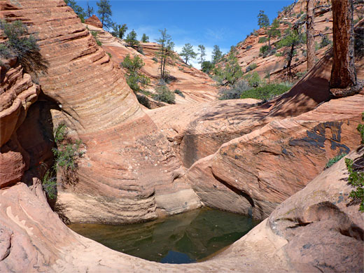
South Checkerboard Mesa Canyon Video
Path to the Saddle
A suitable parking place for the hike is a pullout on the north side of Hwy 9, a quarter of a mile west of Checkerboard Mesa, just west of a small drainage that separates the mesa from the adjacent peak (Crazy Quilt Mesa). The route is across the open ground by the road, then along the dry streambed, which soon becomes wooded and shady, as cliffs close in on either side. After a dryfall, passed by a path on the left, the hike proceeds through mix of other short trails, and streambed walking, gradually becoming steeper, and the last part rather sandy, up to a breezy saddle, 1.3 miles from the highway.
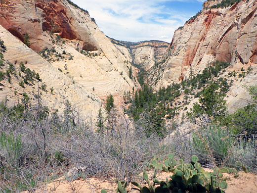
West Fork
Just south of the saddle is a small drainage that eventually forms the west fork of South Checkerboard Mesa Canyon. The streambed moves to the southeast, over generally open terrain, overgrown in just a few places, mostly across slickrock, past scattered boulders. At one point a tiny stream flows a short distance, originating from a seep, below a leaning pine tree. The streambed starts to descend some more, into a bowl, as the big red cliffs on the far side of Parunuweap Canyon can be seen in the distance. It then falls away vertically by 100 feet or so into an enclosed ravine, but a side canyon to the west offers a way down, quite a long descent, overgrown and with a few drop-offs to pass but eventually reaching the floor of the main canyon. From here it is possible to walk back upstream to see the dark, sheer-walled canyon below the 100 foot drop.
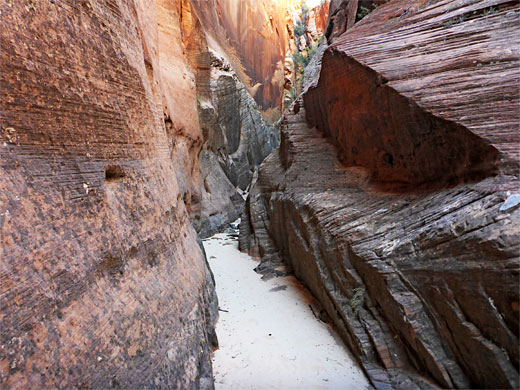

East Fork
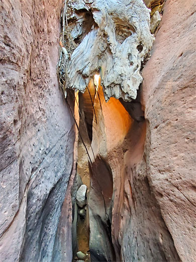
Downstream offers easy walking, for 700 feet, to the confluence with the east fork. Just below this is a twisting slot through stripy sandstone, soon dropping away beyond a big boulder, ten feet above a pool, with more narrows beyond; not easy to explore without ropes. Instead, the east fork can be followed; it soon has a short slot followed by an open stretch, and a narrower section with pools, passable on the left. Above is another good slot section which may be entered from the lower end; it has a sandy floor, and ends with a fall beneath a chokestone, not climbable. The bypass route is back a little bit, up a short ravine to the west, and across the slopes above, rejoining the canyon just before an another shallow slot with small pools. There is then one bigger pool, after which the canyon becomes shallow and there are no more narrows. The return route is further upstream along the drainage then cross country to the northwest, back to the shallow part of the west fork, up to the saddle and back down to the road.
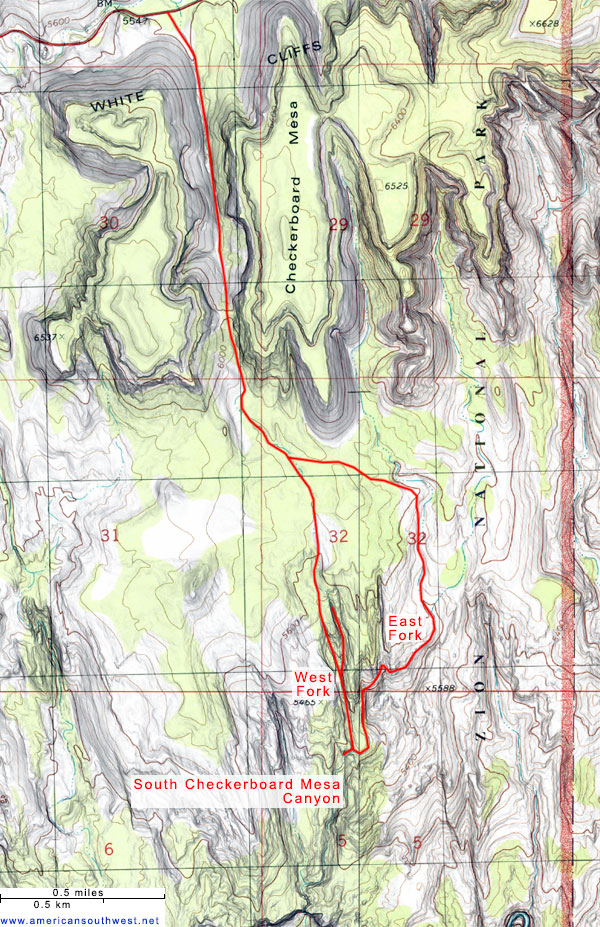
Topographic Map of South Checkerboard Mesa Canyon
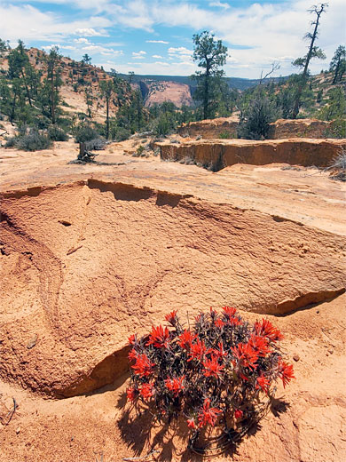
South Checkerboard Mesa Canyon Wildflowers
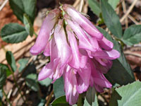 King's clover |
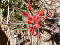 Rough Indian paintbrush |
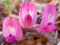 Newberry's milkvetch |