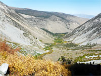
Bear Creek National Recreational Trail, San Juan Mountains
Colorado > San Juan Mountains > Bear Creek National Recreational Trail
Bear Creek National Recreational Trail
This spectacular trail climbs via switchbacks up the east side of the Uncompahgre Gorge south of Ouray, then follows the steep-sided canyon of Bear Creek, traversing cliffs, and winding through woodland and meadows, to the remains of two old mines, Grizzly Bear and Yellow Jacket
Length: 4.3 miles, to Yellow Jacket Mine; trail continues
Elevation change: 2,630 feet
Difficulty: Strenuous - steep gradients
Type: One way
Usage: Low
Season: Spring, summer, fall
Trailhead: Along US 550, 2 miles south of Ouray
Rating (1-5): ★★★★★
Elevation change: 2,630 feet
Difficulty: Strenuous - steep gradients
Type: One way
Usage: Low
Season: Spring, summer, fall
Trailhead: Along US 550, 2 miles south of Ouray
Rating (1-5): ★★★★★


Not to be confused with the Bear Creek Trail near Telluride, the Bear Creek National Recreation Trail (10 miles northeast), in the San Juan Mountains near Ouray, is a longer, steeper, more strenuous and more spectacular route that follows the forceful stream of Bear Creek, a tributary of the Uncompahgre River, past the photogenic remains of two old mines, the second of which, Yellow Jacket Mine, makes a good target for a day hike, after 4.3 miles. The trail does continue, however, another 2.6 miles, to a four-way intersection on American Flats, from where various other destinations can be reached.
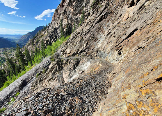
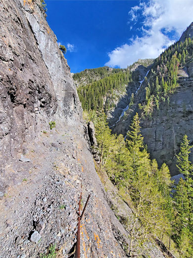
The lower section of the Bear Creek canyon is especially dramatic, framed by precipitous cliffs of slate, quartzite and tuff, and here the trail is often very narrow, cut right across the rock faces, often with a sheer drop to one side, down to the stream far below. The upper reaches of the canyon though are gentler, the bedrock now wholly the grayish tuff, and the path winds through meadows and mixed woodland, closer to the stream, to Yellow Jacket Mine, set in a sheltered basin.
The steepest section of the hike is right at the start, where the path rises over a thousand feet in the first mile, via switchbacks through pine woods; thereafter it alternates between almost level sections and relatively gentle upwards gradients, and once past the exposed section across the cliffs, it runs generally through wooded terrain. The path is noticeably less used once past Grizzly Bear Mine, after 2.4 miles; this is a good intermediate destination.
San Juan Mountains area map, Bear Creek topographic map.
50 views along the Bear Creek National Recreational Trail.
The Bear Creek Trail is provided with a large parking place, on the east side of US 550, 2 miles south of Ouray and just south of a short tunnel, where the highway cuts through a protruding section of the canyon walls. Two paths start here, on the opposite side; one follows the Uncompahgre River Gorge downstream to Ouray, while the other, to Bear Creek, climbs the bushy slope above the tunnel, moving back to the east side of the road then begins a steep ascent up wooded slopes, passing a trail register near the start. The trees become sparser and the surroundings stonier - all rocks are angular, gray-brown slates - and soon the trail reaches a treeless promontory which gives fine views up and down the Uncompahgre Gorge - north to the lowlands beyond Ouray, and upstream to the south, with the distinctive peak of Red Mountain visible on the horizon.
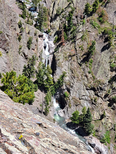
After the Uncompahgre Gorge viewpoint, the trail moves through a few more short bends then straightens, now following the Bear Creek canyon, still high above the stream, which far below flows through a dramatic and unreachable sequence of waterfalls, pools and cascades. The bedrock changes from slate of the Uncompahgre Formation to (San Juan) tuff, which persists all the way to Yellow Jacket Mine. The trail has a lengthy, slightly curved stretch, across the stark gray cliffs, which are sprinkled with patches of colorful lichen; cut directly into the rock by the miners who first built the route in the 1870s, and this is followed by a second, similar section, now rather closer to the creek.
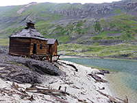
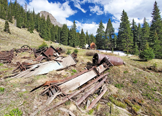
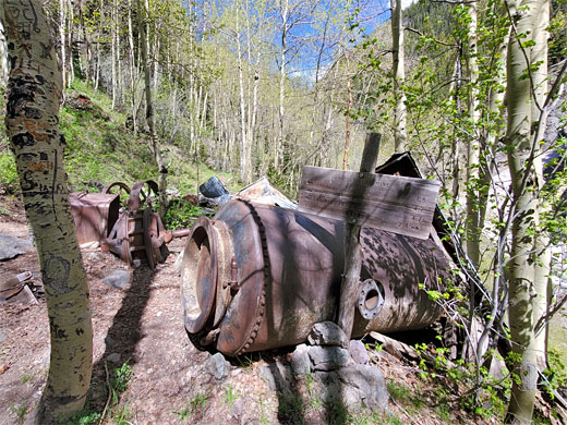
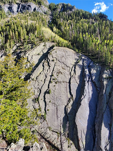
Next is a brief wooded, shaded corridor, with a better wildflower selection, followed by more cliffs, and at one point, a bridge over a narrow gully, then another, longer section cut into the cliffs and eventually back into woodland, now more extensive, as the gradient lessens and the trail arrives at the site of Grizzly Bear Mine. This was established in 1875, extracting gold and silver from quartz veins, and was operation for around 30 years. Relics include an intact, metal-clad cabin, a collapsed wooden cabin, various pieces of iron machinery, and at least two openings; a sealed shaft containing its original wooden ladder, and a tunnel, loosely closed with iron netting that allows bats to enter. The creek is close though still generally unreachable due to the steep canyon sides. Rising above to the south is a huge cliff of slate, topped by full-size pine trees that seem tiny in comparison.
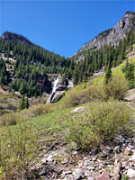
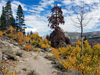
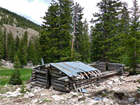
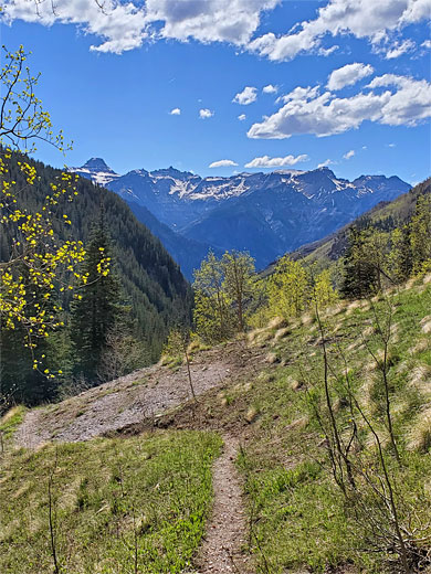
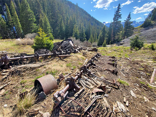
The trail continues, rising not too steeply, through meadows and aspen groves. One section crosses a rocky chute, a potential avalanche area in the winter, soon followed by a bridge over a tributary stream, with a waterfall below, after which the trail leads through more trees and grassland, briefly steeper at one point and becoming rather high above the stream for a while, though the valley as a whole is now shallower and less steep-sided. The path then reaches Yellow Jacket Mine, which was constructed around 1915, and produced small amounts of gold, lead and zinc. There are many iron and wooden relics scattered over the surrounding meadows, and several wooden cabins in various stages of collapse. Two paths continue: one heads south to Engineer Mountain and Engineer Pass, 2.4 miles, the other, the main route, climbs to the junction on American Flats.
The lower section of the Bear Creek canyon is especially dramatic, framed by precipitous cliffs of slate, quartzite and tuff, and here the trail is often very narrow, cut right across the rock faces, often with a sheer drop to one side, down to the stream far below. The upper reaches of the canyon though are gentler, the bedrock now wholly the grayish tuff, and the path winds through meadows and mixed woodland, closer to the stream, to Yellow Jacket Mine, set in a sheltered basin.
The steepest section of the hike is right at the start, where the path rises over a thousand feet in the first mile, via switchbacks through pine woods; thereafter it alternates between almost level sections and relatively gentle upwards gradients, and once past the exposed section across the cliffs, it runs generally through wooded terrain. The path is noticeably less used once past Grizzly Bear Mine, after 2.4 miles; this is a good intermediate destination.
Location
San Juan Mountains area map, Bear Creek topographic map.
Photographs
50 views along the Bear Creek National Recreational Trail.
Bear Creek Video
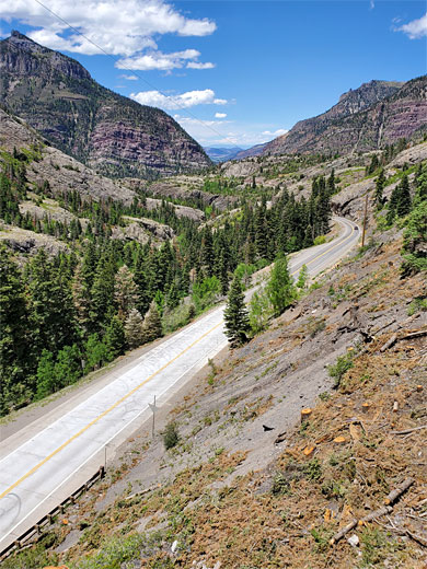
Start of the Trail
The Bear Creek Trail is provided with a large parking place, on the east side of US 550, 2 miles south of Ouray and just south of a short tunnel, where the highway cuts through a protruding section of the canyon walls. Two paths start here, on the opposite side; one follows the Uncompahgre River Gorge downstream to Ouray, while the other, to Bear Creek, climbs the bushy slope above the tunnel, moving back to the east side of the road then begins a steep ascent up wooded slopes, passing a trail register near the start. The trees become sparser and the surroundings stonier - all rocks are angular, gray-brown slates - and soon the trail reaches a treeless promontory which gives fine views up and down the Uncompahgre Gorge - north to the lowlands beyond Ouray, and upstream to the south, with the distinctive peak of Red Mountain visible on the horizon.
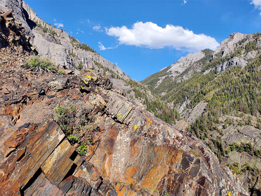
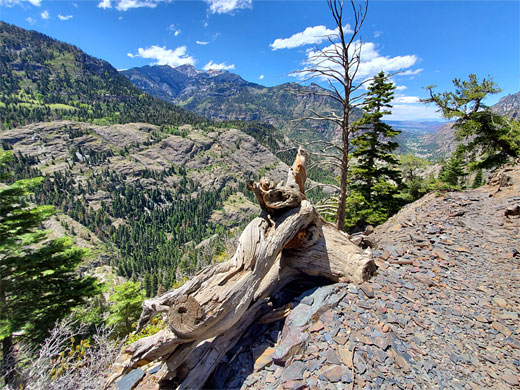
Cliffs
After the Uncompahgre Gorge viewpoint, the trail moves through a few more short bends then straightens, now following the Bear Creek canyon, still high above the stream, which far below flows through a dramatic and unreachable sequence of waterfalls, pools and cascades. The bedrock changes from slate of the Uncompahgre Formation to (San Juan) tuff, which persists all the way to Yellow Jacket Mine. The trail has a lengthy, slightly curved stretch, across the stark gray cliffs, which are sprinkled with patches of colorful lichen; cut directly into the rock by the miners who first built the route in the 1870s, and this is followed by a second, similar section, now rather closer to the creek.
Grizzly Bear Mine
Next is a brief wooded, shaded corridor, with a better wildflower selection, followed by more cliffs, and at one point, a bridge over a narrow gully, then another, longer section cut into the cliffs and eventually back into woodland, now more extensive, as the gradient lessens and the trail arrives at the site of Grizzly Bear Mine. This was established in 1875, extracting gold and silver from quartz veins, and was operation for around 30 years. Relics include an intact, metal-clad cabin, a collapsed wooden cabin, various pieces of iron machinery, and at least two openings; a sealed shaft containing its original wooden ladder, and a tunnel, loosely closed with iron netting that allows bats to enter. The creek is close though still generally unreachable due to the steep canyon sides. Rising above to the south is a huge cliff of slate, topped by full-size pine trees that seem tiny in comparison.
Yellow Jacket Mine
The trail continues, rising not too steeply, through meadows and aspen groves. One section crosses a rocky chute, a potential avalanche area in the winter, soon followed by a bridge over a tributary stream, with a waterfall below, after which the trail leads through more trees and grassland, briefly steeper at one point and becoming rather high above the stream for a while, though the valley as a whole is now shallower and less steep-sided. The path then reaches Yellow Jacket Mine, which was constructed around 1915, and produced small amounts of gold, lead and zinc. There are many iron and wooden relics scattered over the surrounding meadows, and several wooden cabins in various stages of collapse. Two paths continue: one heads south to Engineer Mountain and Engineer Pass, 2.4 miles, the other, the main route, climbs to the junction on American Flats.

Bear Creek Wildflowers
More flowers along the trail
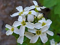 Heartleaf bittercress |
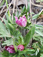 Red windflower |
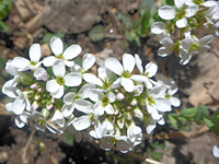 Alpine pennycress |
More flowers along the trail