Nunatak Nature Trail
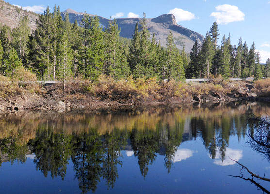
This short loop trail winds around four scenic ponds just east of the Tioga Pass, through lightly wooded terrain with views of the surrounding mountains including Mt Dana and Tioga Peak
Length: 0.5 miles, loop
Elevation change: 20 feet
Difficulty: Easy
Type: Loop
Usage: Low to medium
Season: Early summer to late fall - whenever the road is open
Trailhead: Pullout along Tioga Road
Rating (1-5): ★★★★★
Elevation change: 20 feet
Difficulty: Easy
Type: Loop
Usage: Low to medium
Season: Early summer to late fall - whenever the road is open
Trailhead: Pullout along Tioga Road
Rating (1-5): ★★★★★


The Nunatak Nature Trail, or Nunatak Tioga Tarns Trail, is a half mile loop in the Inyo National Forest, just east of Yosemite National Park and the Tioga Pass, along Tioga Road, at an elevation of 9,700 feet. The hike is accessible whenever the road is open, generally between May and October.
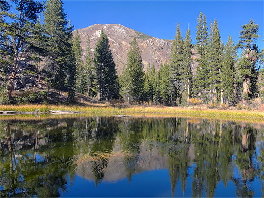
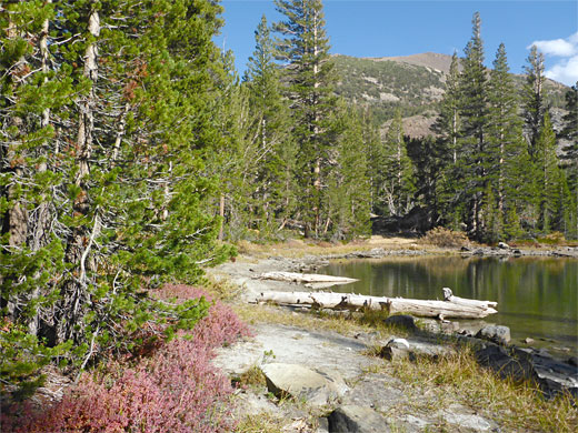
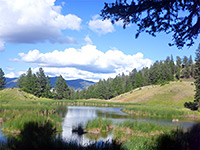
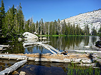
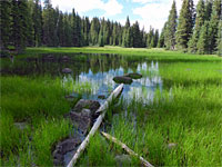
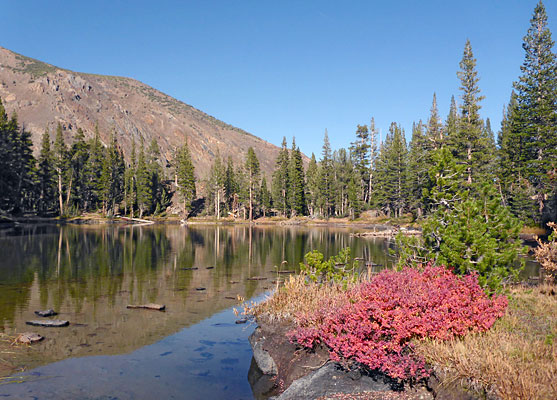
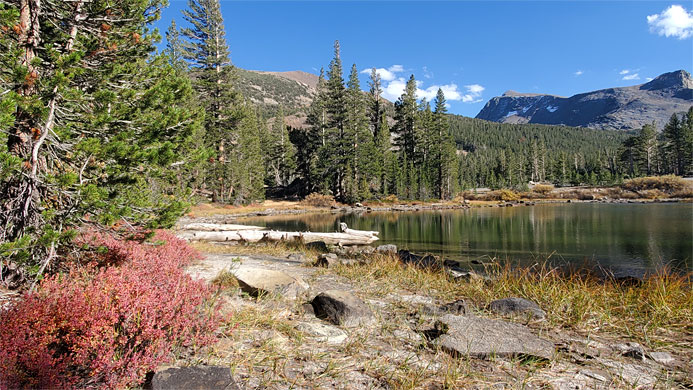
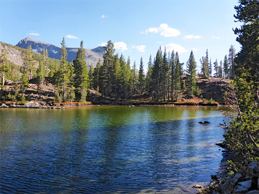
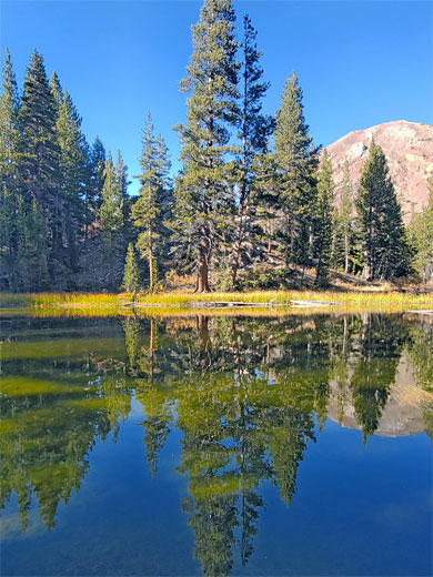
Although short, the views vary along the loop, as the path moves through a glacial basin, past four similarly-sized ponds, lined by trees, with views of the surrounding summits - Tioga Peak to the north, Mt Dana to the southeast and Gaylor Peak to the southwest. Notices along the route describe aspects of the local geology and wildlife. The calm surfaces of the pond are good for reflective photographs.
Nunatak is an Inuit word meaning a rocky outcrop that rises above an enclosing snowfield, perhaps used here on account of a granite dome just west of the ponds. Other good hikes in the area are to Bennettsville Mine, the Conness Lakes and the summit of Mt Dana.
The path has two start points, at either end of the trailhead pull-out along the Tioga Road, 1.6 miles north of the Tioga Pass entrance to Yosemite National Park. The northern path begins at the edge of one pond, that closest to the road, and soon reaches a second, the largest, which is followed around two thirds of the shoreline, the trail at one point running below a jagged reddish cliff. A third pond lies off-trail, 200 feet further north, easily reached by walking through the woods. The trail then heads south to pond number four, also close to the road, and providing good views of Mount Dana. From here, the loop is completed by a short walk back to the south edge of the first pond
Although short, the views vary along the loop, as the path moves through a glacial basin, past four similarly-sized ponds, lined by trees, with views of the surrounding summits - Tioga Peak to the north, Mt Dana to the southeast and Gaylor Peak to the southwest. Notices along the route describe aspects of the local geology and wildlife. The calm surfaces of the pond are good for reflective photographs.
Nunatak is an Inuit word meaning a rocky outcrop that rises above an enclosing snowfield, perhaps used here on account of a granite dome just west of the ponds. Other good hikes in the area are to Bennettsville Mine, the Conness Lakes and the summit of Mt Dana.
The Trail
The path has two start points, at either end of the trailhead pull-out along the Tioga Road, 1.6 miles north of the Tioga Pass entrance to Yosemite National Park. The northern path begins at the edge of one pond, that closest to the road, and soon reaches a second, the largest, which is followed around two thirds of the shoreline, the trail at one point running below a jagged reddish cliff. A third pond lies off-trail, 200 feet further north, easily reached by walking through the woods. The trail then heads south to pond number four, also close to the road, and providing good views of Mount Dana. From here, the loop is completed by a short walk back to the south edge of the first pond