Home
|
Parks
|
Trails
|
Plants
|
Canyons
Maps
|
Landscapes
|
Site Map
|
Whats New?
|
More...
×
General Pages
Home
Parks
Trails
Plants
Slot Canyons
Maps
Landscapes
Itineraries
Site Map
What's New?
More pages...
States
Arizona
California
Colorado
Idaho
Nevada
New Mexico
Oregon
Texas
Utah
Wyoming
MENU
ARIZONA
CALIFORNIA
COLORADO
IDAHO
NEVADA
NEW MEXICO
OREGON
TEXAS
UTAH
WYOMING
UTAH
MAPS
|
PARKS
|
TRAILS
|
HOTELS
All Utah Locations...
NPS
Arches
Bryce Canyon
Canyonlands
Capitol Reef
Cedar Breaks
Dinosaur
Glen Canyon
Golden Spike
Hovenweep
Natural Bridges
Timpanogos Cave
Zion
OTHER PLACES
Anasazi SP
Antelope Island SP
Bear Lake
Bears Ears NM
Canyon Rims RA
Cedar Mesa/Grand Gulch
Cisco
Coral Pink Sand Dunes SP
Dark Canyon
Dead Horse Point SP
Dixie National Forest
Escalante Petrified Forest SP
Factory Butte
Fantasy Canyon
Fisher Towers
Flaming Gorge NRA
Goblin Valley SP
Goosenecks SP
Grafton
Grand Staircase-Escalante NM
Gunlock SP
Henry Mountains
Kanab
Kodachrome Basin SP
La Sal Mountains
Little Egypt
Little Sahara RA
McConkie Ranch Petroglyphs
Mexican Hat
Moab
Montezuma Canyon
Monument Valley
Mount Timpanogos
Nebo Loop
Nine Mile Canyon
Paria Rimrocks
Parowan Gap
Potash Road
Red Canyon
Red Cliffs NCA
Red Cliffs RA
Salt Lake Desert
San Rafael Swell
Sand Hollow SP
Santa Clara River Reserve
Sego Canyon
Snow Canyon SP
Uinta Mountains
Valley of the Gods
Wasatch Mountain SP
Yant Flat Cliffs
Utah site map
Photographs of the Timpooneke Trail, Mount Timpanogos
Utah
>
Mount Timpanogos
>
Timpooneke Trail
>Photographs
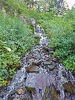
Stream
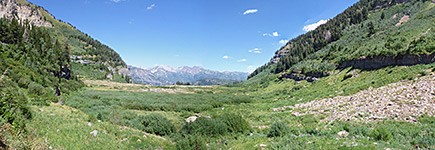
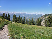
Flat valley floor
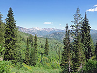
Pine trees
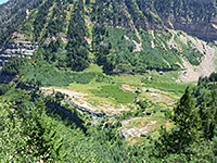
Middle Basin
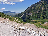
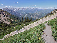
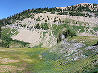
Scree slope
Boulders
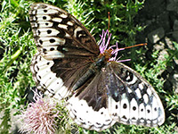
Great spangled fritillary
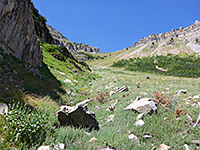
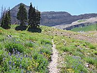
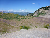
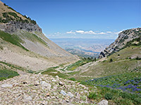
Upper end of the valley
Scree and vegetation
Edge of the basin
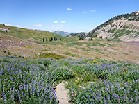
Lupine
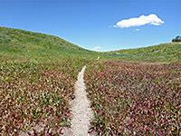
Straight path
Reddish plants
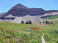
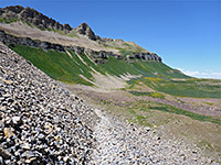
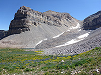
Roberts Horn
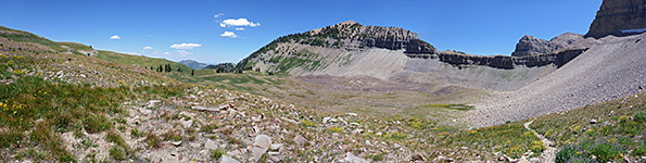
Timpanogos Basin
Cliffs south of the basin
Ridge north of the summit
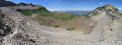
Roberts Horn and Timpanogos Basin
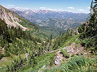
Path across Timpanogos Basin
Above Timpanogos Basin
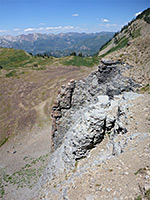
Cliffs
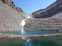
Pass near Emerald Lake
Above Emerald Lake
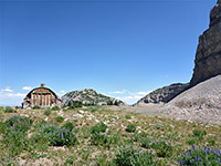
Shelter near Emerald Lake
Residual snow
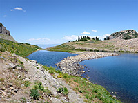
Emerald Lake
Blue water
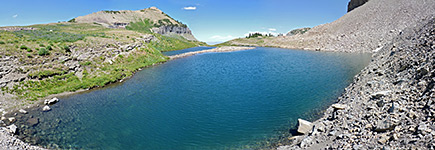
South side of Emerald Lake
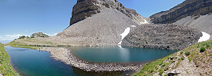
West edge of Emerald Lake
Related Photographs:
Butterflies
-
Utah lakes
-
Utah mountains
-
Utah streams
Back to Top
All Contents © Copyright The American Southwest
|
Comments and Questions
|
Contribute
|
Affiliate Marketing Disclosure
|
Site Map