Victory Palms and Munsen Palms, Joshua Tree National Park
California > Joshua Tree National Park > Hiking > Victory Palms and Munsen Palms
Victory Palms and Munsen Palms
Backcountry palm oases, beyond the end of the Lost Palms Oasis Trail; a small grove, downstream in the same canyon, and several larger groups in a north-side tributary canyon (Munsen)
Length: 5.4 miles, to the second grove in Munsen Canyon, or 6.3 miles to the uppermost grove
Elevation change: 450 feet
Difficulty: Moderate; scrambling over large boulders
Type: One way, partly off-trail
Usage: Very low
Season: All year, but very hot in summer
Trailhead: Cottonwood Spring
Rating (1-5): ★★★★★
Elevation change: 450 feet
Difficulty: Moderate; scrambling over large boulders
Type: One way, partly off-trail
Usage: Very low
Season: All year, but very hot in summer
Trailhead: Cottonwood Spring
Rating (1-5): ★★★★★


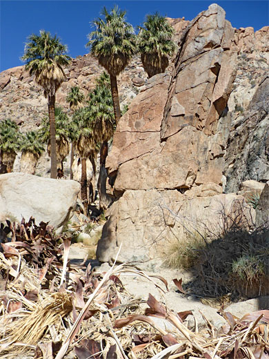
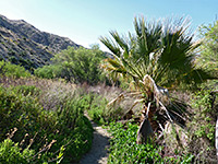
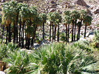
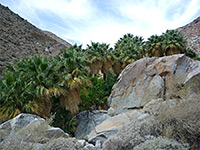
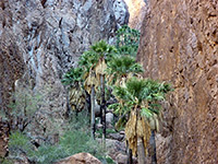
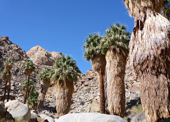
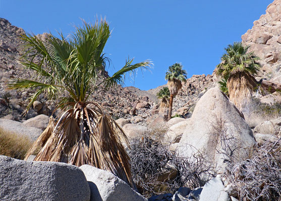
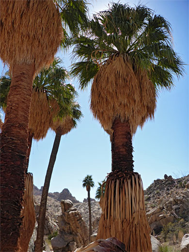
By far the least visited of Joshua Tree's six major fan palm oases are a closely-separated pair on the south side of the park, within the Eagle Mountains - the Victory Palms, a small grouping of just a dozen or so trees, and the much more extensive Munsen Palms, which are spread out over 1.6 miles of a narrower ravine, Munsen Canyon. All the trees have a similar setting, surrounded by granitic boulders, rocky slopes and low cliffs; much bare rock, mingling with a good variety of other desert plants, and very often topped by a clear blue sky.
The Victory Palm grove, in the adjacent Lost Palms Canyon, is 0.6 miles before the start of the Munsen Canyon groves, and while there is no path in these drainages, they lie not far beyond the end of perhaps the best trail in the park, the 3.6 mile route to Lost Palms Oasis.
From either the viewpoint above the Lost Palms, at the end of the official trail, or the grove itself, Victory Palms are 0.8 miles downstream, while the uppermost trees in Munsen Canyon are 2.1 miles further. The off-trail walk is moderately difficult, with various boulder piles and steeper sections to negotiate. Total distances from the Lost Palms Oasis trailhead are 4.4 miles to Victory Palms, 5.4 miles to the second of the two largest groupings in Munsen Canyon, and 6.3 miles to the furthest trees.
Victory Palms and Munsen Palms topographic map.
20 views of the Victory and Munsen Palms.
The trailhead for the hike to Lost Palms Oasis, at Cottonwood Spring, is a popular location, often full at weekends, when excess vehicles have to park on nearby villages. The path descends to the many palms of the Cottonwood oasis, rises gradually to a junction on the left with the loop path to Mastodon Peak, and is then almost flat for a mile or so. It becomes slightly more undulating, crossing several little washes before passing over a couple of minor saddles, and climbing again to a viewpoint above the Lost Palms, this after 3.6 miles. A notice states 'End of trail, proceed at own risk', this relating to a short, steep path that descends 150 feet to the grove itself. The notice seems to deter around half of the people who come here.
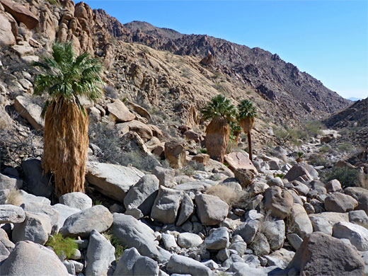
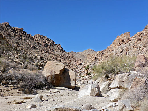
The continuation route to Victory Palms is either down the path into the Lost Palms grove, or along a similar route east of the viewpoint, which descends a little side ravine, reaching the floor of Lost Palms Canyon just opposite the lowest of the trees. Downstream, the wash is briefly overgrown then opens out, affording easy walking until a rocky descent, closely followed by another, rather steeper. Victory Palms soon come into view, while further ahead the hills open out at the mouth of the canyon, into the open spaces of Chuckwalla Valley. The Victory grove consists of around eight large palms and several smaller ones, centered on a tiny spring. A metal pipe is visible in some places, taking water from the spring to some location downstream, but apart from this there is no sign of any development, and no litter - everything hereabouts is quite pristine.
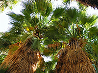
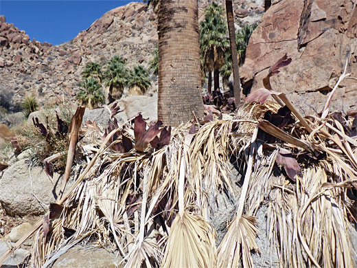
The streambed, now flat, wide and sandy, continues 0.3 miles to the confluence with Munsen Canyon to the north. Just ahead is the end of a sandy 4WD track that leads 3.3 miles towards Chiriaco Summit, in Chuckwalla Valley along Interstate 10. The streambed in Munsen Canyon soon starts to rise, through a group of large boulders then becomes mostly free of obstructions, onto the first cluster of palms, at the junction with an east-side tributary. There are several dozen large trees in the grove, overgrown at the center, arranged around a spring. The next group is half a mile further; not quite as many trees, but equally tall, at the base of a vertical cliff to the east. The ground is carpeted by thick piles of ancient fallen fronds. The next palms are 800 feet upstream, around eight of them, and several other scattered groups are encountered over the next 0.8 miles, as the canyon starts to ascend more steeply.
The Victory Palm grove, in the adjacent Lost Palms Canyon, is 0.6 miles before the start of the Munsen Canyon groves, and while there is no path in these drainages, they lie not far beyond the end of perhaps the best trail in the park, the 3.6 mile route to Lost Palms Oasis.
From either the viewpoint above the Lost Palms, at the end of the official trail, or the grove itself, Victory Palms are 0.8 miles downstream, while the uppermost trees in Munsen Canyon are 2.1 miles further. The off-trail walk is moderately difficult, with various boulder piles and steeper sections to negotiate. Total distances from the Lost Palms Oasis trailhead are 4.4 miles to Victory Palms, 5.4 miles to the second of the two largest groupings in Munsen Canyon, and 6.3 miles to the furthest trees.
Map
Victory Palms and Munsen Palms topographic map.
Photographs
20 views of the Victory and Munsen Palms.
Lost Palms
The trailhead for the hike to Lost Palms Oasis, at Cottonwood Spring, is a popular location, often full at weekends, when excess vehicles have to park on nearby villages. The path descends to the many palms of the Cottonwood oasis, rises gradually to a junction on the left with the loop path to Mastodon Peak, and is then almost flat for a mile or so. It becomes slightly more undulating, crossing several little washes before passing over a couple of minor saddles, and climbing again to a viewpoint above the Lost Palms, this after 3.6 miles. A notice states 'End of trail, proceed at own risk', this relating to a short, steep path that descends 150 feet to the grove itself. The notice seems to deter around half of the people who come here.
Victory Palms
The continuation route to Victory Palms is either down the path into the Lost Palms grove, or along a similar route east of the viewpoint, which descends a little side ravine, reaching the floor of Lost Palms Canyon just opposite the lowest of the trees. Downstream, the wash is briefly overgrown then opens out, affording easy walking until a rocky descent, closely followed by another, rather steeper. Victory Palms soon come into view, while further ahead the hills open out at the mouth of the canyon, into the open spaces of Chuckwalla Valley. The Victory grove consists of around eight large palms and several smaller ones, centered on a tiny spring. A metal pipe is visible in some places, taking water from the spring to some location downstream, but apart from this there is no sign of any development, and no litter - everything hereabouts is quite pristine.
Munsen Palms
The streambed, now flat, wide and sandy, continues 0.3 miles to the confluence with Munsen Canyon to the north. Just ahead is the end of a sandy 4WD track that leads 3.3 miles towards Chiriaco Summit, in Chuckwalla Valley along Interstate 10. The streambed in Munsen Canyon soon starts to rise, through a group of large boulders then becomes mostly free of obstructions, onto the first cluster of palms, at the junction with an east-side tributary. There are several dozen large trees in the grove, overgrown at the center, arranged around a spring. The next group is half a mile further; not quite as many trees, but equally tall, at the base of a vertical cliff to the east. The ground is carpeted by thick piles of ancient fallen fronds. The next palms are 800 feet upstream, around eight of them, and several other scattered groups are encountered over the next 0.8 miles, as the canyon starts to ascend more steeply.