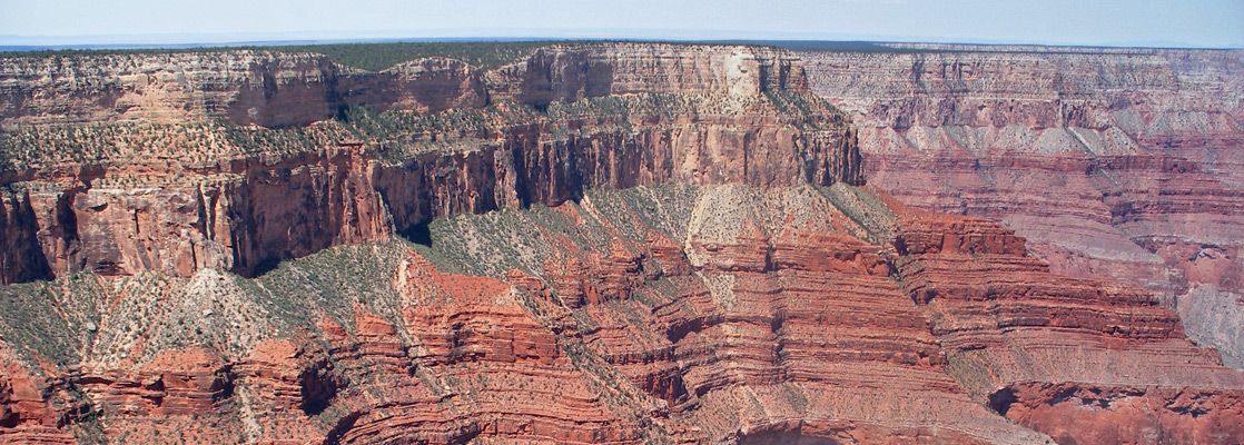
Mohave Point, Grand Canyon National Park
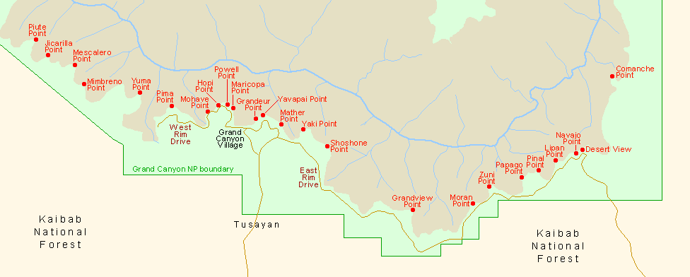
Arizona > Grand Canyon National Park > South Rim > Viewpoints > Mohave Point
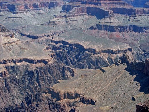
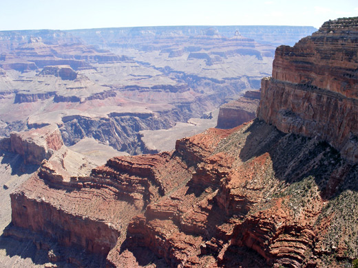
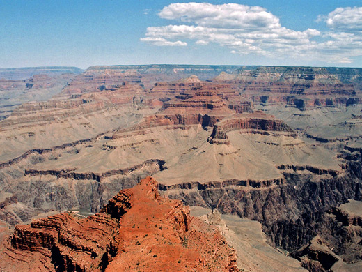
Mohave is one of only two eastbound stops along the Hermit's Rest shuttlebus route, along with Hopi Point, and both are favorite locations for watching the sunset. The views at Hopi are more expansive, but Mohave has several individual overlooks rather than just one, and tends to receive fewer visitors so is generally more peaceful.

All Contents © Copyright The American Southwest | Comments and Questions | Contribute | Affiliate Marketing Disclosure | Site Map