Home
|
Parks
|
Trails
|
Plants
|
Canyons
Maps
|
Landscapes
|
Site Map
|
Whats New?
|
More...
×
General Pages
Home
Parks
Trails
Plants
Slot Canyons
Maps
Landscapes
Itineraries
Site Map
What's New?
More pages...
States
Arizona
California
Colorado
Idaho
Nevada
New Mexico
Oregon
Texas
Utah
Wyoming
MENU
ARIZONA
CALIFORNIA
COLORADO
IDAHO
NEVADA
NEW MEXICO
OREGON
TEXAS
UTAH
WYOMING
NEW MEXICO
MAPS
|
PARKS
|
TRAILS
|
HOTELS
All New Mexico Locations...
NPS
Aztec Ruins
Bandelier
Capulin Volcano
Carlsbad Caverns
Chaco Culture
El Malpais
El Morro
Gila Cliff Dwellings
Petroglyph
Salinas Missions
White Sands
OTHER PLACES
Aguirre Spring
Ah-Shi-Sle-Pah
Angel Peak
Bisti Wilderness
Bluewater Lake State Park
Bosque del Apache
Bottomless Lakes
Burnham Badlands
Ceja Pelon
Cimarron Canyon
City of Rocks
Crow Canyon Petroglyphs
De-Na-Zin
Elephant Butte Lake
Fossil Forest
Jemez Historic Site
Jemez Mountains
Kasha-Katuwe
Living Desert Zoo and Gardens
Lybrook Badlands
Mesa de Cuba
Navajo Lake
Ojito
Oliver Lee Memorial
Penistaja Mesa
Rock Hound
Route 66
San Jose Badlands
San Juan Basin
Santa Fe
Santa Fe to Roswell
Sevilleta NWR
Shiprock
Talus Canyon
Valley of Fires
Wild Rivers
New Mexico site map
Photographs of Talus Canyon
New Mexico
>
Talus Canyon
> Photographs
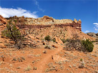
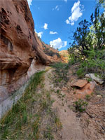
Path to the canyon
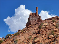
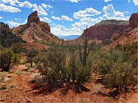
Kokopelli Rock
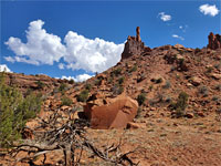
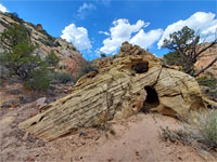
Big boulder
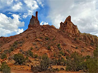
Two peaks
Small trees
Bushes
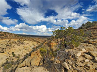
Clouds
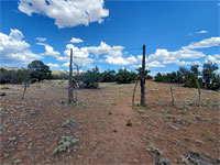
Fence and gate
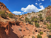
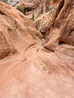
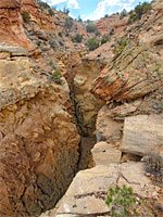
Cliff and streamway
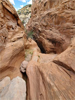
Lower end of the narrows
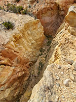
Yellow rock
Boulders
Slickrock
Dryfalls
Dried-up pool
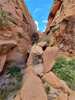
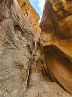
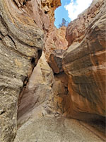
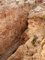
Narrow passageway
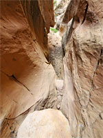
Chokestone
Above the narrows
Jagged canyon walls
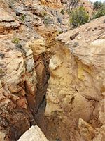
Yellow cliffs
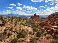
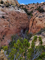
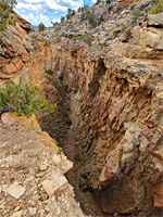
Deep canyon
Rim of the canyon
View upstream
High above the streambed
The view south
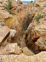
Rocky streambed
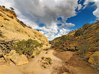
Rocky slopes
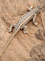
Plateau fence lizard
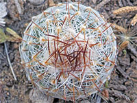
Common beehive cactus
Back to Top
All Contents © Copyright The American Southwest
|
Comments and Questions
|
Contribute
|
Affiliate Marketing Disclosure
|
Site Map