Highlights:
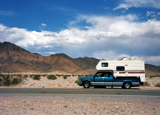
The scenic approach to Death Valley National Park from the south, from Baker along roads 127 and 178; across Silurian Valley then through the Black Mountains, over Salsberry Pass and Jubilee Pass

Death Valley is not reached by main cross-country travel routes since it is bordered by the high Sierra Nevada mountains to the west, and on all other sides by long stretches of desert, much of which is enclosed by huge military reservations.
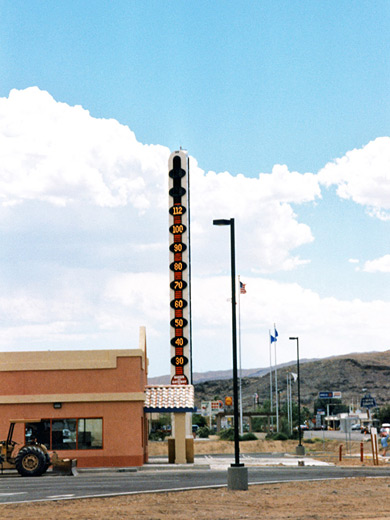
The usual approaches to the area are from the east, along US 95 from Las Vegas, or from the south, starting from the small, dusty town of Baker on I-15. The main feature of interest in Baker is the largest thermometer in the world, outside a fast food restaurant.
The usual approaches to the area are from the east, along US 95 from Las Vegas, or from the south, starting from the small, dusty town of Baker on I-15. The main feature of interest in Baker is the largest thermometer in the world, outside a fast food restaurant.
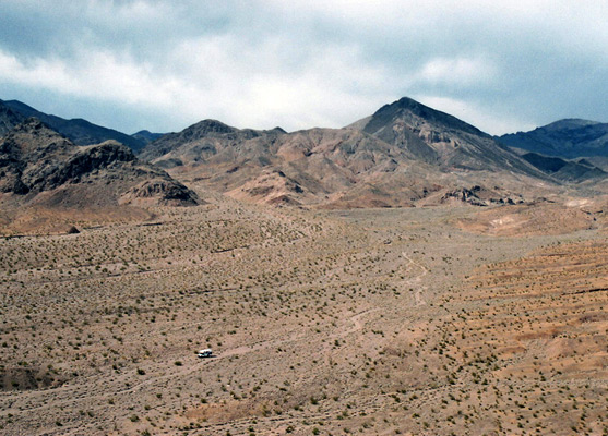
Dry Lakes
From the town, state road 127 heads north, passing several dry lake beds along the flat, barren Silurian Valley - this is a southerly extension of Death Valley and is part of a continuous depression that extends even further south, across the Mojave Desert towards Ludlow on I-40. After 30 miles of unchanging scenery a rough track (the Saratoga Springs Road), which is subject to flooding and deep sand drifts, leads northwest into the main valley but the paved route turns away north to Shoshone.
Salsberry Pass
Just beyond, road 178 climbs westwards into the Black Mountains, reaching a height of 3,300 feet at Salsberry Pass. From here, the route descends, often steeply, over the lower Jubilee Pass (from where an off-trail hike leads to a nearby summit, Jubilee Mountain) then down to sea level, over just 15 miles. This corresponds to a temperature rise of over 15°F; in summer the feeling of increasing, oppressive heat and the heaviness of the air is quite striking. The land is barren for much of the year, but in spring this area is filled by brilliantly-colored wildflowers and cacti blossom during the brief growing season.
All Contents © Copyright The American Southwest | Comments and Questions | Contribute | Affiliate Marketing Disclosure | Site Map