

Uncle Jim Point, Grand Canyon National Park
Arizona > Grand Canyon National Park > North Rim > Viewpoints > Uncle Jim Point

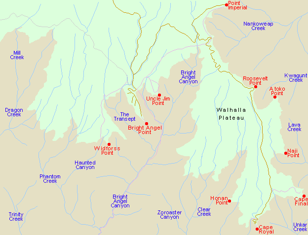
Topographic Map
Uncle Jim Trail.
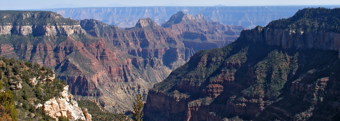
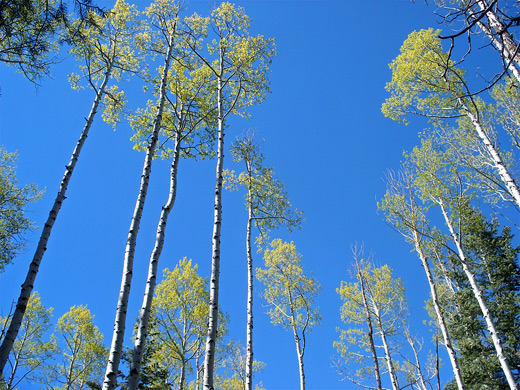
The trailhead is at the far side of the carpark, next to the staging area for the mules that take guests down both the North Kaibab and Uncle Jim trails; this is also the start point for the Ken Patrick and Old Kaibab routes (see trail index). An NPS information board by the start of the path has detailed maps of the area, plus various other notices. Uncle Jim Trail begins by climbing gently amongst the tall trees, running quite close to the rim and offering partial views down Roaring Springs Canyon before turning more to the north and entering deeper forest of mixed aspen, fir, spruce and ponderosa pine, through some parts that show quite extensive wildfire damage. The path crosses a small stream, climbs the far side then levels out, soon reaching a junction. The Ken Patrick Trail leads straight on - a much less used path (and no mules allowed) - while the Uncle Jim Trail continues to the right, descending quite steeply into a cool, moist area that holds melting snow well into June. After a short but equally steep climb up the far side, the trail divides again at the start of the loop section. Both branches reach the viewpoint after less than a mile; the left part is more level and passes close to the edge of the plateau, while the right part offers no canyon views and has a few short climbs and descents. The 5 mile round trip to this point can be done in as little as 90 minutes owing to the gentle gradients and shady conditions, though the NPS give 3 hours as the suggested time.
Next Points
West: Bright Angel Point
East: Honan Point - though there are four rather inaccessible points in between (Komo, Obi, Ariel and Francois Matthes)
All Contents © Copyright The American Southwest | Comments and Questions | Contribute | Affiliate Marketing Disclosure | Site Map