Cape Royal, Grand Canyon National Park
Arizona > Grand Canyon National Park > North Rim > Viewpoints > Cape Royal
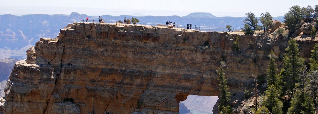

Interpretive signs along the 0.3 mile trail identify some of the common plants of this location, and there are plenty of viewpoints of the canyon to the east. Most memorable is of Angels Window, a natural arch in the Kaibab limestone which frames a little section of the Colorado River, 5,000 feet below and 6 miles distant. A short, railing protected side path leads across the narrow neck of land on top of the window, stopping at a fine viewpoint right at the edge of the cliffs. The main path becomes unpaved and continues a few hundred feet to the final overlook, which is slightly blocked by trees in some directions; the best views westwards are obtained by climbing over the railings and walking a few steps downhill.
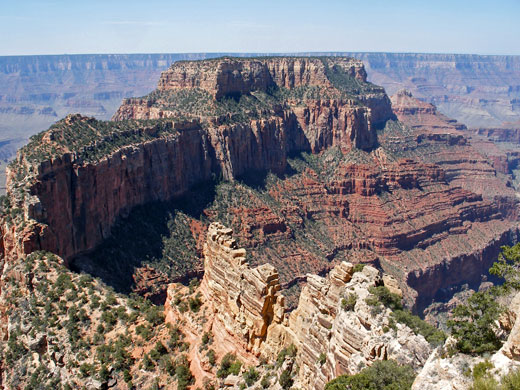
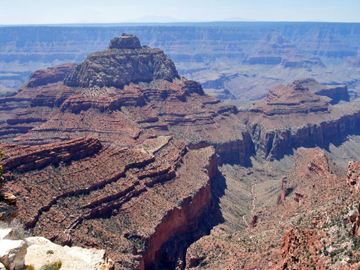
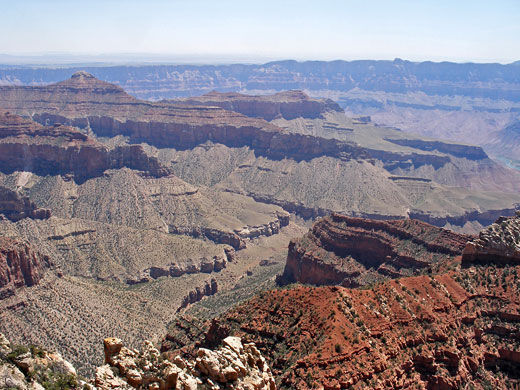
From Cape Royal, the Colorado River is just visible in the east, at the lower end of Unkar Creek, while the main feature due south is Wotans Throne, an isolated, wooded mesa at the same height as Cape Royal but surrounded by vertical cliffs and so completely inaccessible. Freya Castle is a similar, smaller butte a little way east. Features directly opposite on the south rim include Sinking Ship, Horseshoe Mesa and Grandview Point, though many miles of the rim are visible, from Palisades of the Desert across to Mather Point.
Next Points
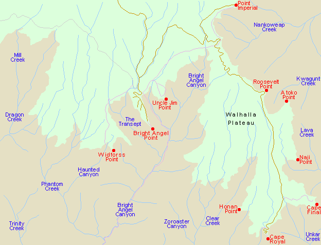
West: Honan Point
East: Cape Final
Next Points
West: Honan Point
East: Cape Final
All Contents © Copyright The American Southwest | Comments and Questions | Contribute | Affiliate Marketing Disclosure | Site Map