Home
|
Parks
|
Trails
|
Plants
|
Canyons
Maps
|
Landscapes
|
Site Map
|
Whats New?
|
More...
×
General Pages
Home
Parks
Trails
Plants
Slot Canyons
Maps
Landscapes
Itineraries
Site Map
What's New?
More pages...
States
Arizona
California
Colorado
Idaho
Nevada
New Mexico
Oregon
Texas
Utah
Wyoming
MENU
ARIZONA
CALIFORNIA
COLORADO
IDAHO
NEVADA
NEW MEXICO
OREGON
TEXAS
UTAH
WYOMING
TEXAS
MAPS
|
PARKS
|
TRAILS
|
HOTELS
All Texas Locations...
NPS
Alibates Flint Quarries
Amistad
Big Bend
Fort Davis
Guadalupe Mountains
Lake Meredith
Padre Island
San Antonio Missions
OTHER PLACES
Big Bend Ranch State Park
Black Gap WMA
Caprock Canyons State Park
Davis Mountains State Park
Dinosaur Valley State Park
Enchanted Rock SNA
Fort Leaton SHS
Franklin Mountains State Park
Hueco Tanks State Park
Langtry
Lost Maples SNA
Monahans Sandhills State Park
Odessa Meteor Crater
Palmetto State Park
Palo Duro Canyon State Park
Pedernales Falls State Park
Texas site map
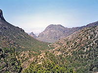
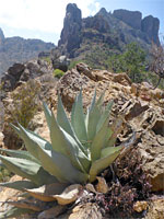
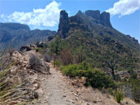
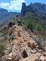
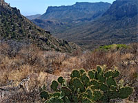
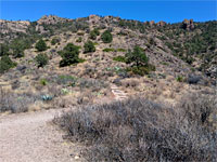
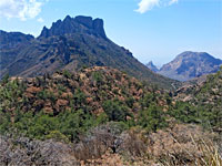
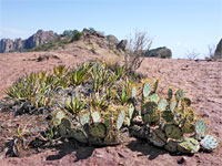
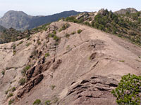
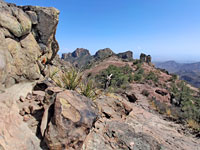
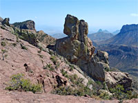
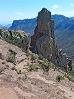
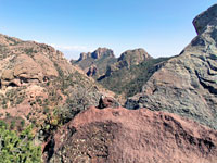
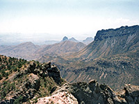
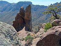
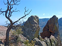
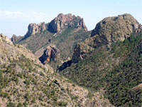
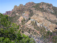
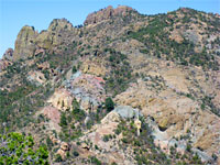
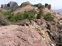
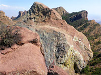
Photographs of the Lost Mine Trail, Big Bend National Park
Texas
>
Big Bend National Park
>
The Southwest
>
Hiking
>
Lost Mine Trail
> Photographs
The view west
Agave
Saddle along the trail
Rocky divide
Opuntia
Cactus buds
Red cactus flowers
Steps on the trail
Casa Grande Peak
Opuntia and lechuguilla
Slickrock ridge
End of the trail
Rocky slopes
Pinnacle
Reddish-gray rock
The view southeast
Isolated spire
Rocks and dead tree
Pine Canyon
Multicolored slopes
Lost Mine Peak
Crown Mountain
Overhanging cliff
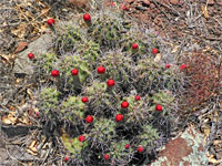
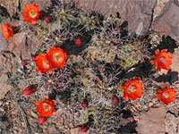
Related Photographs:
All Big Bend photos
-
Cacti of Big Bend
-
Chisos Mountains
Back to Top
All Contents © Copyright The American Southwest
|
Comments and Questions
|
Contribute
|
Affiliate Marketing Disclosure
|
Site Map