Highlights:
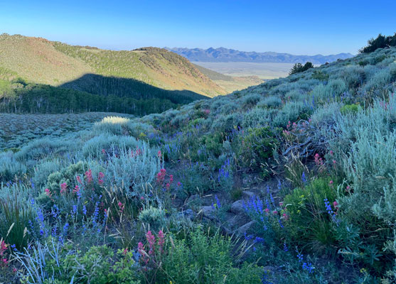
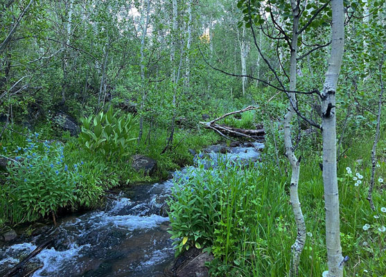
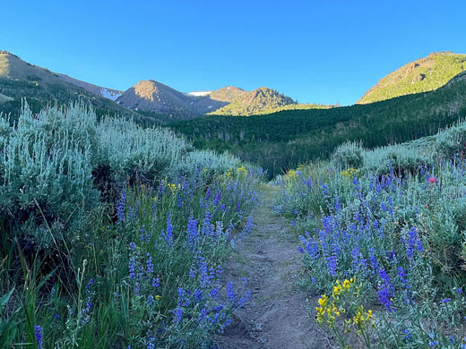
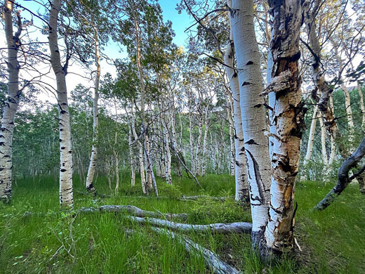
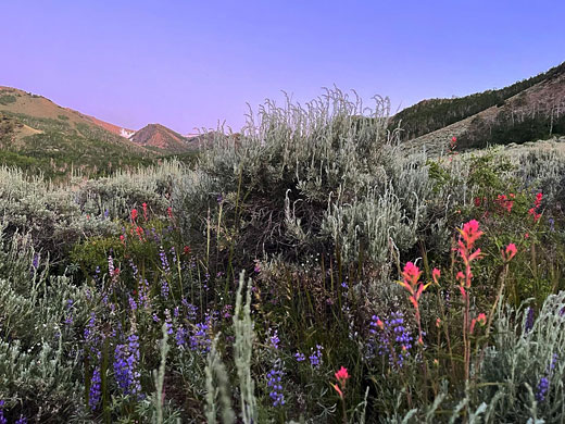
The southern portion of the Toiyabe Range, centered on its highest peak, 11,788 foot Arc Dome. Sagebrush slopes with plentiful wildflowers and patches of pinyon-juniper woodland, crossed by aspen-lined streams
Nearby town:
Tonopah, 50 miles
Management:
Location:
36.733, -114.748 (Arc Dome summit)
Seasons:
Spring, summer, fall
Rating (1-5):
★★★★★

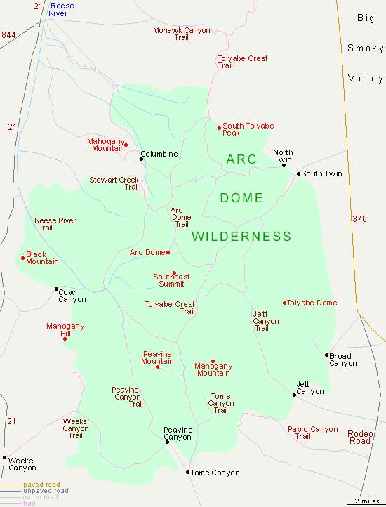
The Arc Dome Wilderness is amongst the largest of the 20 USFS-administrated wilderness areas in Nevada, occupying 115,00 acres near the center of the state, south of Austin. The wilderness comprises the southernmost portion of the Toiyabe Range, typical Nevada mountains - long but relatively narrow, aligned north-south, extending for over 100 miles, bordered by wide valleys at either side. The majority of the mountains, and all of the wilderness, is within the Humboldt-Toiyabe National Forest.
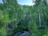
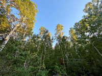
The wilderness is an oval-shaped area, 20 miles long and 15 miles across, containing the widest section of the mountains, and also the highest point, 11,780 foot Arc Dome, the eighth most prominent peak in Nevada. Much of the slopes are bare of trees, covered only by sagebrush and other low growing plants, but the hillsides are drained by many streams, flowing down party wooded valleys, the trees usually aspen near the creek and conifers above, including pinyon pine, juniper and limber pine. Some of the streams are especially renowned for trout fishing, especially South Twin Creek, North Twin Creek and the Reese River.
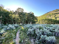
Unusually for the Nevada mountain ranges, many of which are largely pathless, the Arc Dome area is crossed by a good network of trails, totalling over 100 miles, including the southern third of the long-distance Toiyabe Crest National Recreation Trail. There are USFS campgrounds along two of the main access routes, Columbine on the north side and Peavine Canyon to the south.
The wilderness is an oval-shaped area, 20 miles long and 15 miles across, containing the widest section of the mountains, and also the highest point, 11,780 foot Arc Dome, the eighth most prominent peak in Nevada. Much of the slopes are bare of trees, covered only by sagebrush and other low growing plants, but the hillsides are drained by many streams, flowing down party wooded valleys, the trees usually aspen near the creek and conifers above, including pinyon pine, juniper and limber pine. Some of the streams are especially renowned for trout fishing, especially South Twin Creek, North Twin Creek and the Reese River.
Unusually for the Nevada mountain ranges, many of which are largely pathless, the Arc Dome area is crossed by a good network of trails, totalling over 100 miles, including the southern third of the long-distance Toiyabe Crest National Recreation Trail. There are USFS campgrounds along two of the main access routes, Columbine on the north side and Peavine Canyon to the south.
Arc Dome Wilderness Table of Contents
Trailheads in the Arc Dome Wilderness
The mountains provide a backdrop for Hwy 376, from Austin - this runs for over 50 miles along Big Smoky Valley, as the peaks rise over 6,000 feet above. The main access to the wilderness from this road is from North Twin and South Twin Creek trailheads, at the mouths of two valleys, from where paths climb towards the crest. The other most used entrance point is at Columbine Campground in the north, along a track (NF 119) from Hwy 21, itself an unpaved route, along the upper end of the Reese River Valley, on the west side of the hills, where the land is less steeply-sloping. The trail from here follows one of the many streams, Stewart Creek, into the hills, then ascends more steeply to a ridge and continues to the summit of Arc Dome, after 8 miles, linking with several other routes along the way. Lesser used trailheads are situated in the west at Cow Canyon, the southwest at Weeks Canyon, the south at Toms Canyon and in the southeast at Jett Canyon. The 63 mile Toiyabe Crest Trail enters the wilderness from the north at Ophir Summit, loops around three sides of Arc Dome then descends northeastwards, terminating at the South Twin trailhead.
Arc Dome Wilderness - Nearby Places
- Berlin Ichthyosaur State Park (23 miles) - well-preserved ghost town at the foot of the Shoshone Mountains
- Hwy 376 (22 miles) - typically straight, empty Nevada highway
Arc Dome Wilderness - Similar Places
- Guadalupe Mountains, Texas - isolated mountains with diverse climate zones
- Mount Charleston, Nevada - part of the Spring Mountains, near Las Vegas
All Contents © Copyright The American Southwest | Comments and Questions | Contribute | Affiliate Marketing Disclosure | Site Map