
Topographic Map of Water Pockets, Vermilion Cliffs National Monument
Arizona > Vermilion Cliffs National Monument > Water Pockets > Topo Map
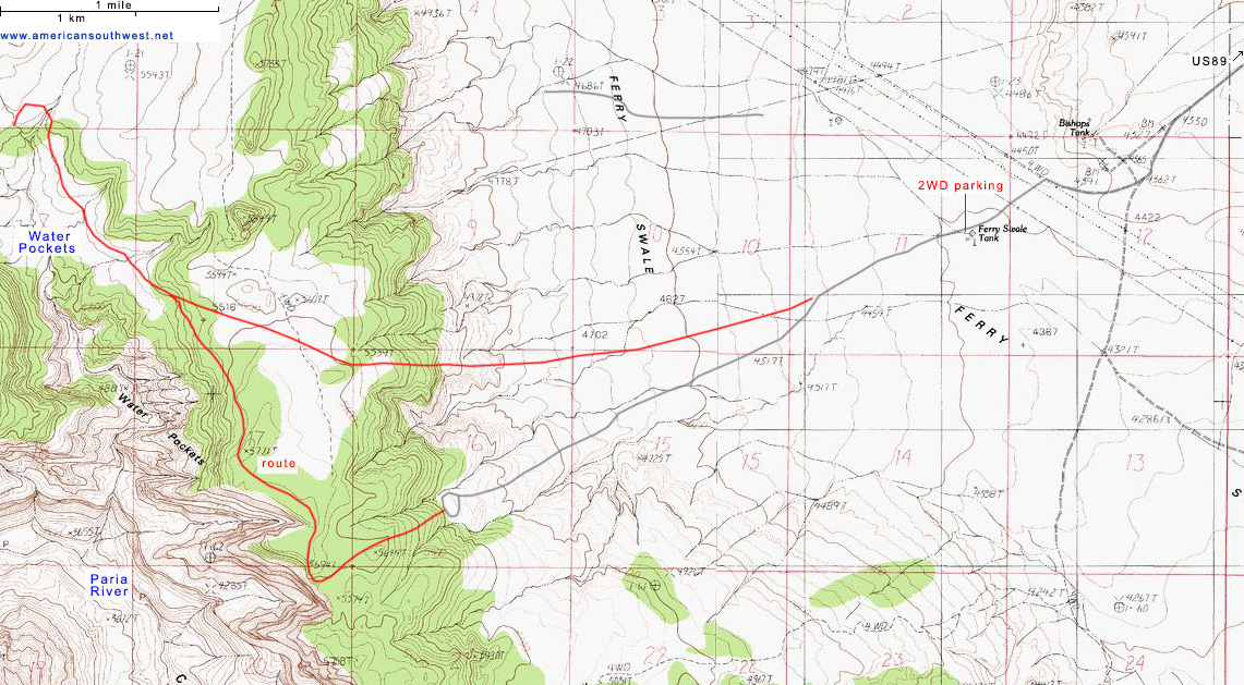
2WD vehicles should park at Ferry Swale Tank, 3.5 miles from UD 89, but 4WD can continue, perhaps another 2.7 miles to the end of the track.