
Topographic Map of the Bonelli Spring Route, Vermilion Cliffs National Monument
Arizona > Vermilion Cliffs National Monument > Bonelli Spring Route > Topo Map
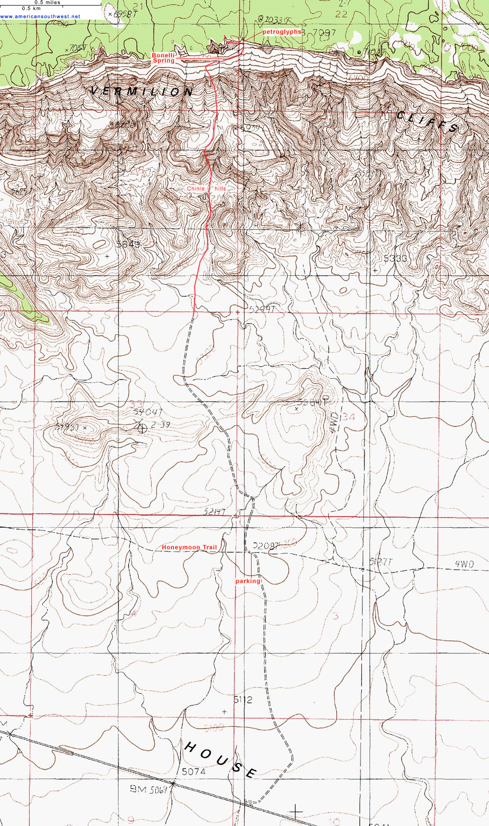
The suggested parking area for the Bonelli Spring Route is 1.5 miles along a sandy track that starts from US 89A between mileposts 560 and 561.