

Shoshone Point, Grand Canyon National Park
Arizona > Grand Canyon National Park > South Rim > Viewpoints > Shoshone Point
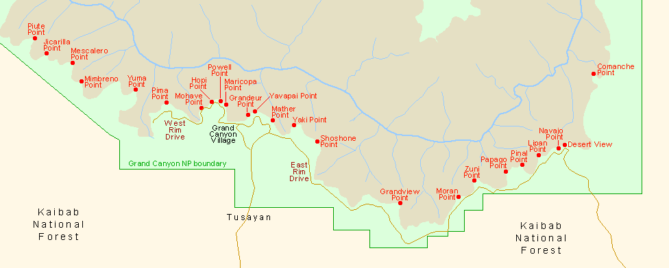
The one mile road is unpaved and normally closed to vehicular access by a locked gate, though visitation on foot is allowed without a permit. The point is not signposted from the East Rim Drive but next to the gate is a parking area, on the north side between mileposts 244 and 245; from here, the rim is reached by a pleasant, level, 20 minute walk through open ponderosa pine woodland.
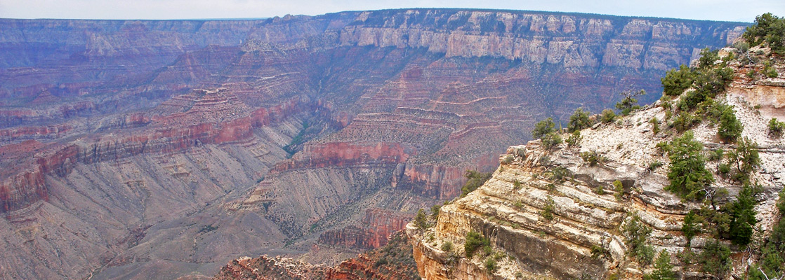
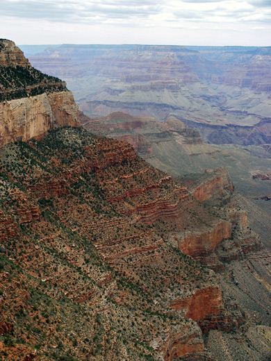
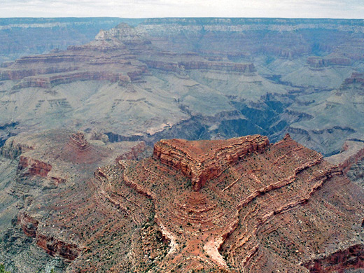
At road's end, the cliffs form a narrow promontory, jutting out from the plateau, and affording views of more than 180° of the Grand Canyon - a vista usually appreciated without any other visitors. To the west, the edge of the rim is formed by Yaki Point, with Cremation Creek below and Phantom Creek (on the North Rim) in the distance. In the foreground are Newton and Lyell buttes, two narrowish peaks in the Supai sandstone, then beyond, also on the North Rim, the long drainage of Clear Creek runs between more high buttes including Zoroaster Temple and Thor Temple. The eastern aspect is dominated by several forks of Grapevine Creek, with other red, flat-topped buttes beyond. The Colorado River is in view only in the far northeast near Tanner Canyon, where it curves round northwards towards Marble Canyon.

All Contents © Copyright The American Southwest | Comments and Questions | Contribute | Affiliate Marketing Disclosure | Site Map