Naji Point, Grand Canyon National Park
Arizona > Grand Canyon National Park > North Rim > Viewpoints > Naji Point

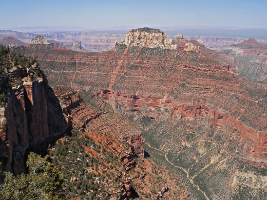
The route to Naji Point is cross country, through generally open woodland that in a few places becomes quite overgrown - due east at first, down a shallow gully into a larger drainage, upstream (left) a little way then up the far side to the top of a ridge, a climb of 200 feet. Continuing east, the land slopes down into a second drainage before rising quite steeply once more for just a short distance to the plateau edge. This upwards slope extends right to the rim, so the canyon is completely hidden until the final few steps. Naji Point forms the southern tip of the plateau and is reached by another few minutes walking through a bushy, recently fire damaged area on top of the cliffs. The end is not so well defined since the land does not fall away vertically, and the best perspective is obtained by walking a little way down a narrow ridge extending southeast, until there are no more bushes to block the views.
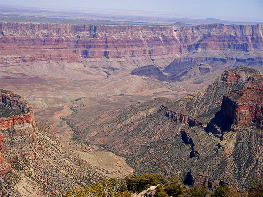
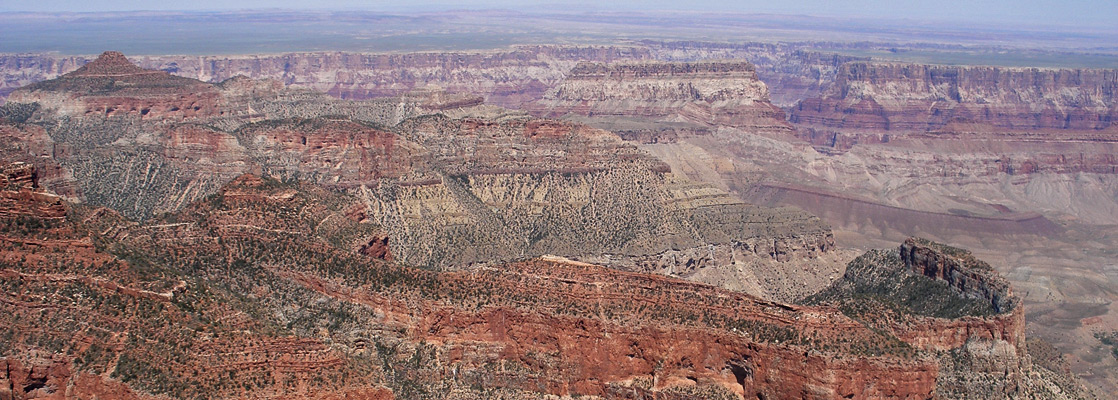
To the south, Naji Point overlooks wooded Natchi Canyon, surrounded on three sides by very steep cliffs beneath the last few miles of the main road and the Cape Final promontory. Lava Creek occupies the eastern foreground, and is bordered by a line of narrow red peaks including Poston Butte and Hubbell Butte. One more unusual feature in view is Hartman Natural Bridge, a thick span over a seasonal drainage at the top of the Redwall limestone layer, near the upper end of the creek. Beyond are many other red cliffs and mesas, and a 15 mile stretch of the Colorado River gorge, centered on the confluence with the Little Colorado River. The lower end of Lava Creek (Chuar Valley), however, presents an atypical landscape of smooth, undulating grassy slopes, representing a more advanced cycle of erosion in this part of the Grand Canyon.
Next Points
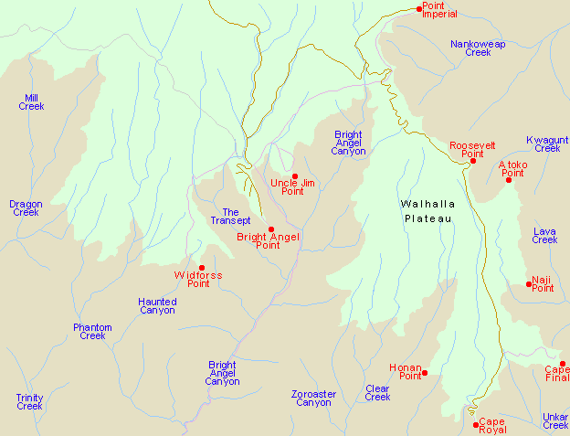
North: Atoko Point
South: Cape Final
All Contents © Copyright The American Southwest | Comments and Questions | Contribute | Affiliate Marketing Disclosure | Site Map