Woodbury Desert Study Area, Beaver Dam Mountains, Utah
Arizona > Beaver Dam Mountains > Woodbury Desert Study Area
Highlights:
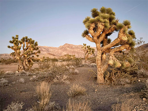
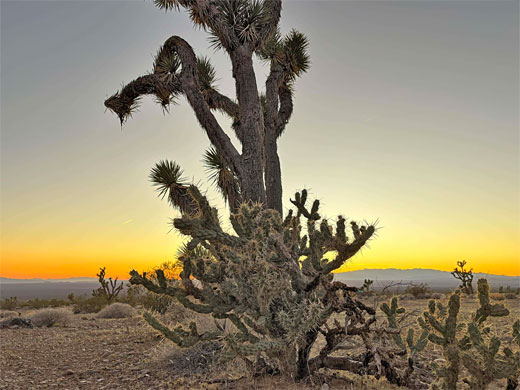
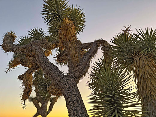
Mojave Desert plain at the foot of the Beaver Dam Mountains, with many Joshua trees, and cacti. A good place to spot bighorn sheep and the desert tortoise. Primitive camping nearby. Long distance views to the west
Management:
BLM
Location:
37.018, -113.892 (parking area)
Seasons:
All year
Rating (1-5):
★★★★★

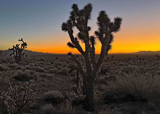
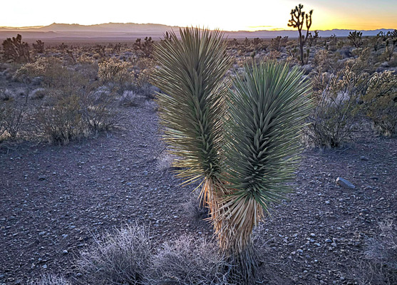
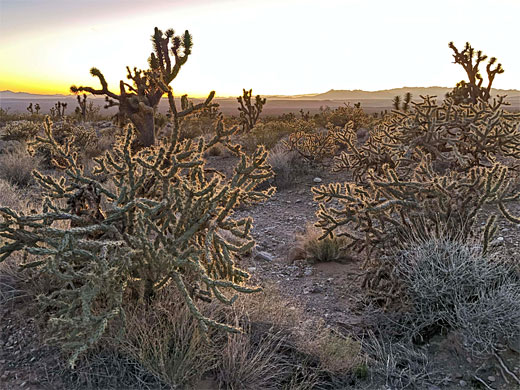
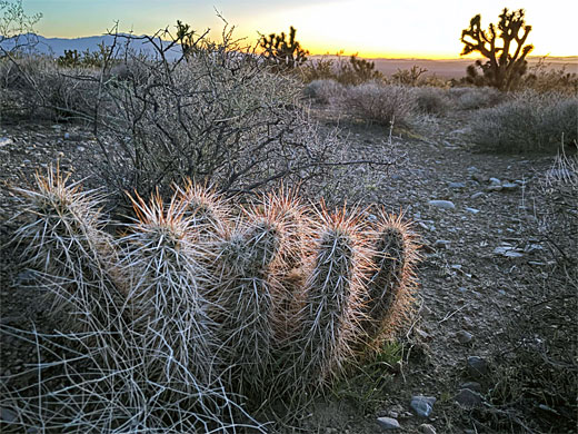
Woodbury Desert Study Area, part of Beaver Dam Mountains National Conservation Area, is a protected section of the Mojave Desert on the west side of the Beaver Dam Mountains in far south Utah, one mile from the Arizona stateline, preserving an important habitat for the desert tortoise, and for bighorn sheep. The elevation is around 3,000 feet and the vegetation is dominated by the Joshua tree, together with a selection of cacti including buckhorn cholla and Engelmann's hedgehog.
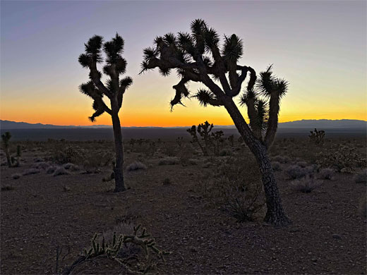
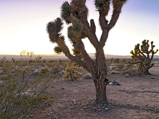
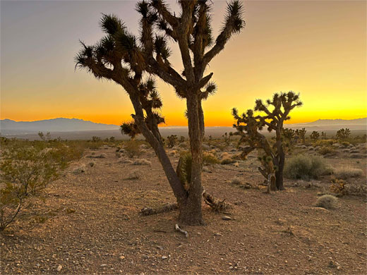
The purpose of the study area is to monitor and investigate plants that have use in landscape reclamation projects, but for the casual visitor it is of interest for the Joshua trees, and for the scenic, remote setting, with good views of the mountains to the east and across a vast area of desert to the west; the place is a good location from which to view the sunset. The adjacent, unprotected land has many places suitable for primitive camping.
The area is named after Angus Woodbury (1886 to 1964), zoologist and ecologist, who studied the desert tortoise at this location in the 1940s.
The Study Area
The study area lies towards the west end of Mojave Desert Joshua Tree Road Scenic Byway, which forks off old Hwy 91, 8 miles north of Littlefield. The road stays level, and straight, for one mile to a junction, opposite which is a parking place for the preserve, accompanied by a noticeboard. Past the intersection the road crosses the mountains then heads north, passing many more Joshua trees. There are camping places just to the south, while the study area, 3,040 acres, extends to the north, and is enclosed by a fence to prevent grazing animals from disturbing the plants, which apart from the Joshua tree also include the ubiquitous creosote bush, plus a few junipers and pinyon pines. Some of the trees were damaged in a 2007 wildfire but the land has largely recovered.
All Contents © Copyright The American Southwest | Comments and Questions | Contribute | Affiliate Marketing Disclosure | Site Map