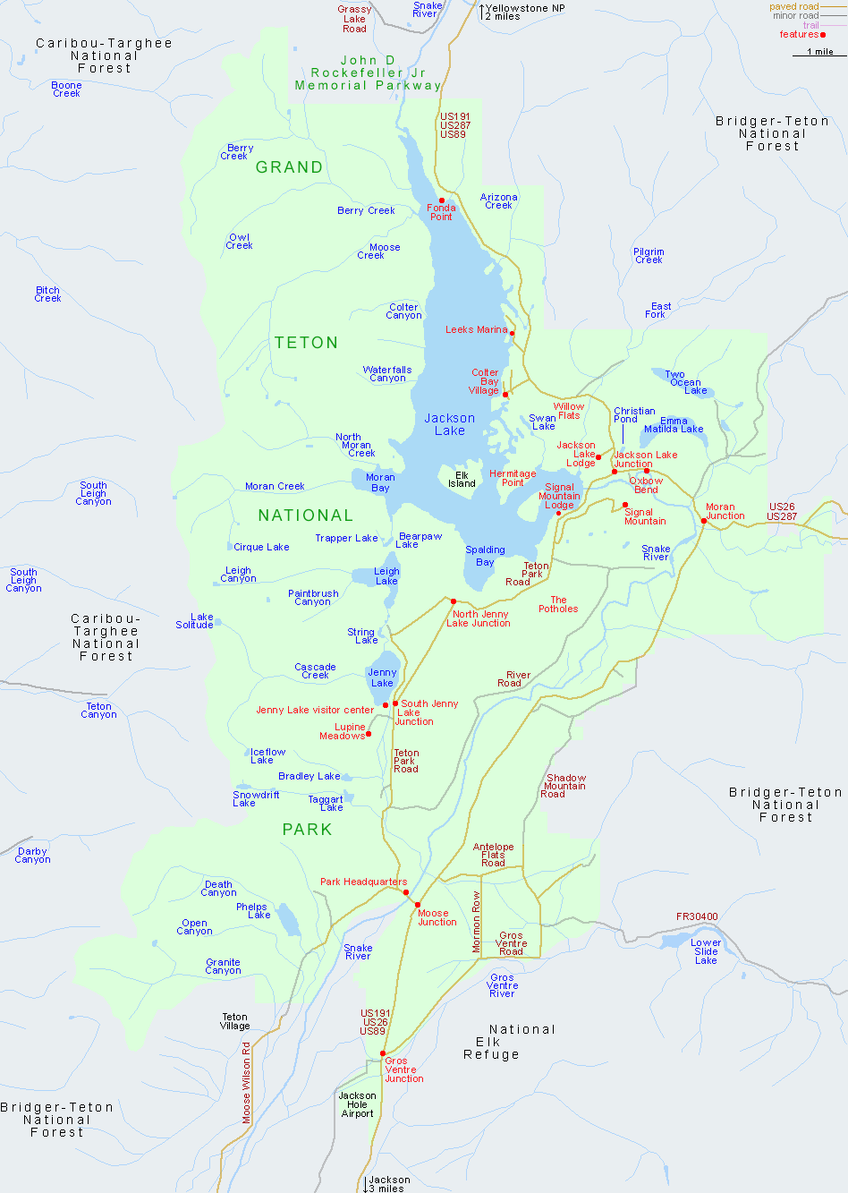
The main highway through Grand Teton National Park is US 191/89, between Jackson and Yellowstone National Park. At Moran Junction it is joined by US 26/287 from Riverton, Casper and Rawlins, though the most scenic route is Teton Park Road, a 21 mile drive along the west side of the Snake River Valley passing various trailheads, viewpoints and picnic areas, plus pretty Jenny Lake.
All Contents © Copyright The American Southwest | Comments and Questions | Contribute | Affiliate Marketing Disclosure | Site Map