Grand Staircase-Escalante National Monument - Escalante and Boulder
Utah > Grand Staircase-Escalante National Monument > Escalante and Boulder
Highlights:
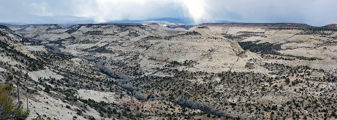
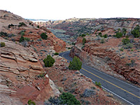
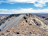
Two small towns towards the northeast of Grand Staircase-Escalante National Monument, linked by scenic route 12, described by some as the most beautiful paved road in Utah. The road crosses the Escalante River, and passes various trails, including for Upper and Lower Calf Creek Falls

UT 12 traverses the edge of the Aquarius Plateau, a fabulous assortment of rocks of every color and form imaginable, with essentially no sign of human habitation. The road at some points traverses narrow ledges with sheer cliffs on either side, and has switchbacks and steep grades.
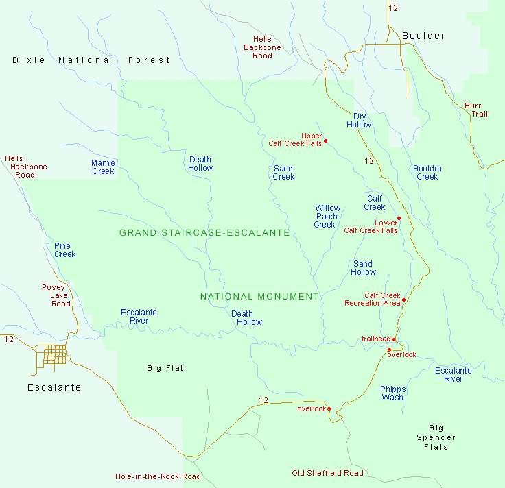
Hell's Backbone Road
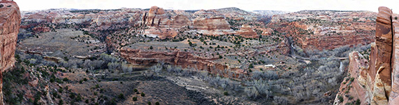
An alternative route from Escalante to Boulder is Hell's Backbone Road (also known as Salt Gulch Rroad. or FR 153), constructed in 1930. This is unpaved but even more spectacular, with many steep wooded ridges and sheer cliffs, and passes mainly through the Dixie National Forest west of Boulder and north of Escalante. In this region is the ominous sounding Box Death Hollow Wilderness, which contains two very scenic deep, watery canyons - Pine Creek and Death Hollow. This latter offers some of the most challenging hiking in the national monument, with much wading and sometimes swimming necessary to progress all the way through the narrow gorge to its junction with the Escalante River.

Escalante
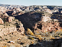
Two miles outside the town, Escalante State Park has a small petrified forest, 1,000 year old petroglyphs and the remains of an old Indian village. The air quality around Escalante is possibly the best in the US; it is usually possible to see 80 miles in many directions. To the west, UT 12 follows up a wooded valley, over a pass at 7,400 feet then drops down towards Cannonville and Kodachrome Basin. Beyond Boulder, the road rises even higher - above the treeline to 9,200 feet across the Aquarius Plateau, passing through several climate zones, and descends to Torrey and UT 24, which leads to Capitol Reef National Park. Another scenic route is the Smoky Mountain Road which heads southwest from Escalante town center (where it is also known as the Alvey Wash Road), follows a canyon behind the Straight Cliffs and climbs towards the Kaiparowits Plateau. After many miles of remote scenery it approaches Lake Powell, following close to the shoreline for several miles, and eventually joins US 89 near the village of Big Water.
All Contents © Copyright The American Southwest | Comments and Questions | Contribute | Affiliate Marketing Disclosure | Site Map