Home
|
Categories
|
National Parks
|
Hotels
|
Site Map
|
Photographs
|
QTVR
|
Whats New?
|
More...
TEXAS
Index
|
Introduction
|
Photographs
|
QTVR
|
Driving Distances
|
Map
|
Weather
|
Hotels
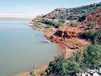
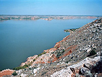
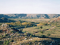
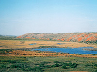
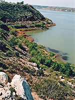
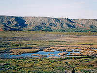
Photographs of Lake Meredith National Recreation Area
Sites in Texas
NPS Units
Alibates Flint Quarries
Amistad
Big Bend
Guadalupe Mountains
Lake Meredith
Padre Island
San Antonio Missions
Other Places
Big Bend Ranch
Black Gap
Caprock Canyons
Dinosaur Valley
Enchanted Rock
Langtry
Lost Maples
Palmetto
Palo Duro Canyon
Pedernales Falls
Texas Site Map
Site Search
Photograph Search
Lake Meredith National Recreation Area
> Photographs
Cliffs near Sanford Dam
View from Fritch Fortress
McBride Canyon
Upper end of the lake
Shoreline
Canadian River
Back to Top
Arizona
|
California
|
Colorado
|
Nevada
|
New Mexico
|
Texas
|
Utah
|
Wyoming
|
Slot Canyons
|
Travelogue
|
SOUTHWEST
All contents ©
copyright
John Crossley |
Comments and questions