NEW MEXICO


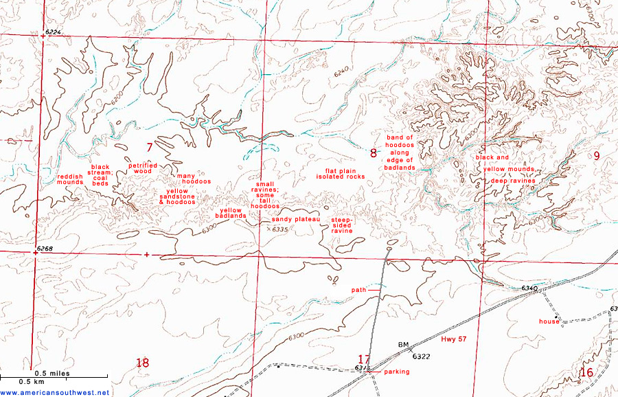
Topographic Map of Ah-Shi-Sle-Pah Wilderness Study Area


Sites in New Mexico

NPS Units
Aztec Ruins
Bandelier
Capulin Volcano
Carlsbad Caverns
Chaco Culture
El Malpais
El Morro
Gila Cliff Dwellings
Petroglyph
Salinas Missions
White Sands

Other Places
Aguirre Spring
Ah-Shi-Sle-Pah
Angel Peak
Bisti Wilderness
Bosque del Apache
Bottomless Lakes
Cimarron Canyon
City of Rocks
De-Na-Zin
Elephant Butte Lake
Jemez Mountains
Kasha-Katuwe
Living Desert
Navajo Lake
Ojito
Oliver Lee Memorial
Rock Hound
Route 66
San Juan Basin
Santa Fe
Santa Fe to Roswell
Shiprock
Valley of Fires
Wild Rivers

New Mexico Site Map

Follow americansouthwest.net on Facebook
Site Search

Photograph Search


Ah-Shi-Sle-Pah Wilderness Study Area > Topographic map

Map of Ah-Shi-Sle-Pah Wilderness Study Area


The BLM carpark and trailhead for Ah-Shi-Sle-Pah Wilderness Study Area is along Hwy 57, 18.3 miles from US 550. The western approach is via roads 7650 and 7870 starting along NM 371, a journey of 20 miles.
Back to Top

All Contents © Copyright John Crossley | Comments and Questions | Site Map

Arizona California Colorado Nevada New Mexico Oregon Texas Utah Wyoming Slot Canyons Travelogue