Photographs of Upper Geyser Basin, Yellowstone National Park
Wyoming > Yellowstone National Park > The Southwest > Upper Geyser Basin > Map and Tour > Photographs
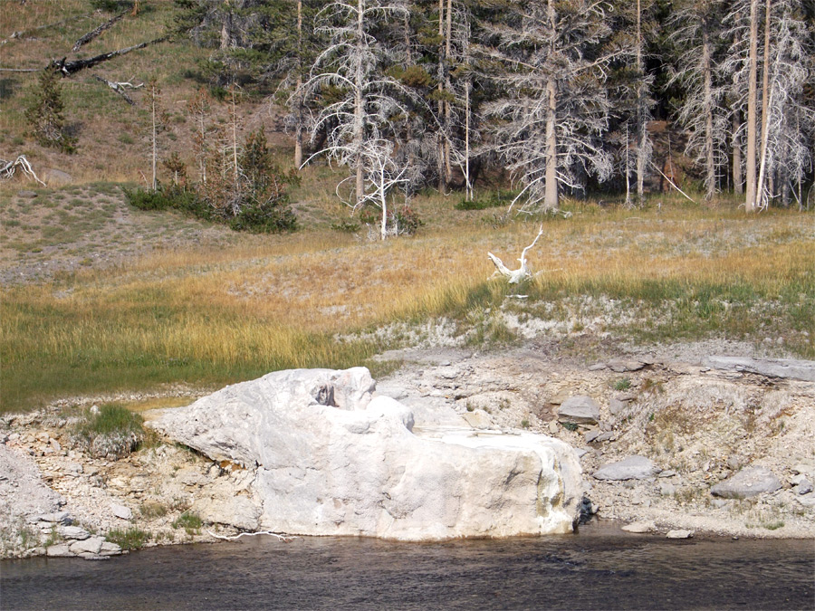
Riverside Geyser is a somewhat isolated feature on the inaccessible east side of the Firehole River, viewed from a short loop spur off the main Upper Geyser Basin Trail. The geyser erupts regularly and predictably, with an interval that has varied a little over the last century but is currently fixed at an average of 6.5 hours (plus or minus half an hour); water wells up from the vent for a few hours before. The thick cone, right on the river bank, suggests the geyser has been active for a very long time, and its picturesque setting is enhanced by the background of grass and trees. Eruptions shoot water up to 70 feet in the air, angled slightly to the west. Riverside is one of five geysers in the basin for which activity is predicted.
Back to map of the Upper Geyser Basin
Back to map of the Upper Geyser Basin

Keywords: Yellowstone National Park, Upper Geyser Basin, Wyoming, rivers, woodland, thermal features, geysers, hot springs, hot pools, boiling water
All Contents © Copyright The American Southwest | Comments and Questions | Contribute | Affiliate Marketing Disclosure | Site Map