Photographs of the West Fork of Johns Canyon, Cedar Mesa, Grand Gulch and Comb Ridge
Utah > Cedar Mesa, Grand Gulch and Comb Ridge > West Fork Johns Canyon > Photographs
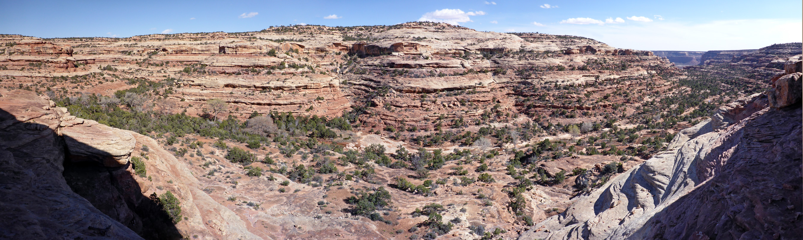
| Previous Photo | Panorama of the canyon, from the first ruins - about 200 feet above the streambed | Next Photo |
To the left is the lower end of the east-side tributary, location of the second ruin site, while on the right, in the distance, is the junction with the main fork of the canyon

Keywords: Cedar Mesa, Grand Gulch and Comb Ridge, the West Fork of Johns Canyon, Utah, panoramas, canyons, Cedar Mesa sandstone, Bears Ears National Monument
All Contents © Copyright The American Southwest | Comments and Questions | Contribute | Affiliate Marketing Disclosure | Site Map