Photographs of Upper Geyser Basin, Yellowstone National Park
Wyoming > Yellowstone National Park > The Southwest > Upper Geyser Basin > Map and Tour > Photographs
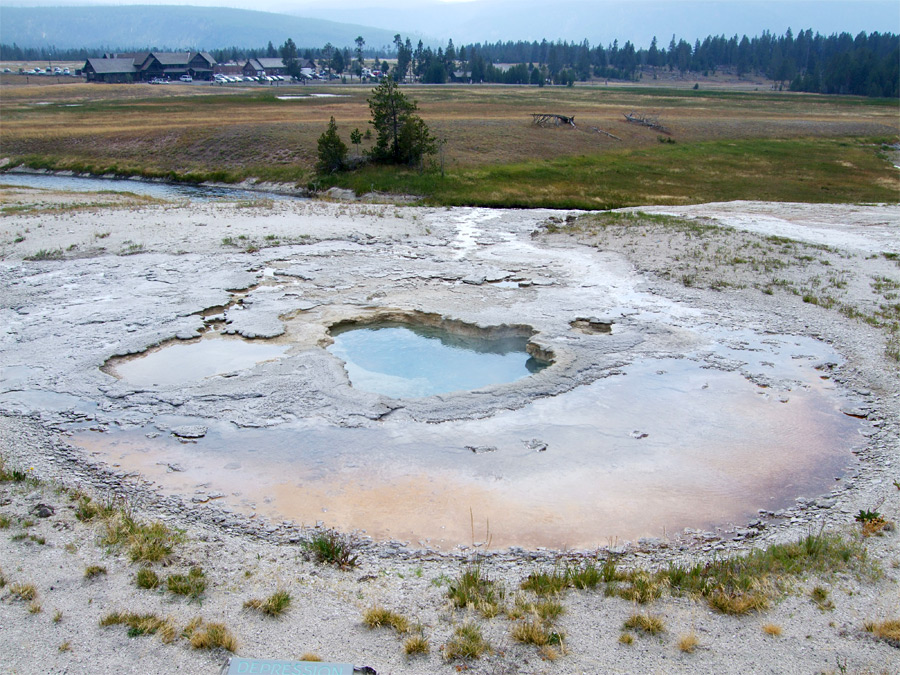
Depression Geyser was named relatively recently, being inactive and unremarkable prior to an earthquake in 1959 that caused changes in the behavior of many of Yellowstone's thermal features. The geyser erupts on average once a day (intervals range from 8 to 36 hours), sending water up to 10 feet in the air over a period of five to ten minutes. The splashing and spray is enough to sustain shallow pools on the surrounding sinter, some with orange-brown algae. Excess water drains west into the Firehole River, 140 feet away.
Back to map of the Upper Geyser Basin
Back to map of the Upper Geyser Basin

Keywords: Yellowstone National Park, Upper Geyser Basin, Wyoming, rivers, buildings, thermal features, geysers, hot springs, hot pools, boiling water
All Contents © Copyright The American Southwest | Comments and Questions | Contribute | Affiliate Marketing Disclosure | Site Map