Photographs of the Bonelli Spring Route, Vermilion Cliffs National Monument
Arizona > Vermilion Cliffs National Monument > Bonelli Spring Route > Photographs
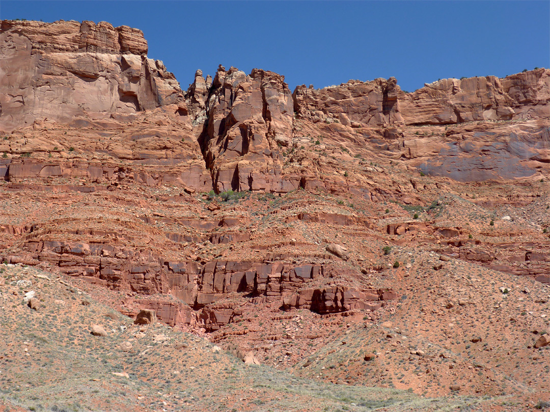
| Previous Photo | The upper portion of the cliffs, Bonelli Spring is slightly left of center, just right of the trees | Next Photo |
The crack used to reach the plateau is directly above the spring, accessed via the 45 degree slope to the east. The petroglyphs are on the dark patch on the cliff to the east.

Keywords: Vermilion Cliffs National Monument, the Bonelli Spring Route, Arizona, red rocks
All Contents © Copyright The American Southwest | Comments and Questions | Contribute | Affiliate Marketing Disclosure | Site Map