Highlights:
Off-trail hiking route around the buttes and meses near Monument Pass, only possible in the company of a Navajo guide

Commonly visited locations include Mitchell Mesa, Hunts Mesa, Teardrop Arch, Douglas Mesa and Mystery Valley. Many companies offer such tours, in addition to travel by jeep and horseback, and some trips include one or more nights camping.
Table of Contents
Hiking Areas
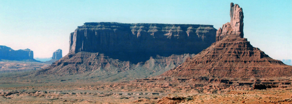
Away from the tribal park, hiking is supposedly allowed where the land is unfenced, but there are no marked trails. As with all backcountry travel in the Navajo Indian Reservation, a $5 day use permit is required, available from the Monument Valley visitor center, though the staff might issue the permit only for specific areas, towards the west side of the valley near the San Juan River and along Piute Farms Wash. If not then perhaps the best cross-country hike in terms of good scenery and easy access is around the main rocks forming Monument Pass, on the southeast side of highway 163; the famous formations seen when approaching the valley from the north. Named Saddleback, King on His Throne, Stagecoach, Bear, Rabbit, and Castle Rock, these high red buttes form a ridge 1.5 miles across, and the walk around them (6 miles) takes around 3 hours. The hike is not too difficult as much of the route is across flat benches though in other places the ground is rather uneven, broken by many small ravines and cliffs. The journey offers a good perspective of the formations themselves and more distant features of the valley, with the views changing around each corner.
Monument Pass Hike
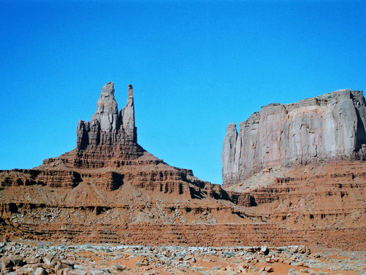
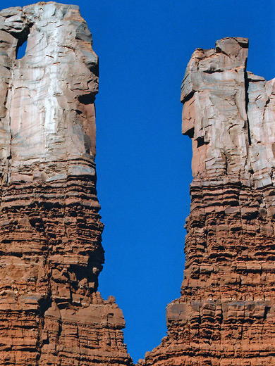
The northwest side of US 163 has a layby for parking, one mile north of the high point of Monument Pass. Starting at an elevation of 5,600 feet, the route is up a low ridge on the opposite side of the highway - soon out of sight of the road - down gullies and across a drainage, over uneven land beneath Saddleback Butte, across another small canyon beneath King on His Throne then up a steeper slope when approaching the north end of Stagecoach rock. After here the land is more level, curving around the east edge of the mesa, where some of the formations along the Valley Drive come in to view to the south; Big Indian in the foreground, Sentinel Mesa to the right and the Mitten Buttes to the left. The nearground, and much of the desert to the east contains undulating, multicolored badlands. The far end of the mesa is formed by three thin spires named Castle Rock, Bear and Rabbit; once around the far southern point, the return route back to US 163 is across one steeper ravine then is generally level, over two shallower ravines near the east edge of Saddleback then north along the road for a mile back to the parking area.
Tours of Monument Valley
All Contents © Copyright The American Southwest | Comments and Questions | Contribute | Affiliate Marketing Disclosure | Site Map