Home
|
Parks
|
Trails
|
Plants
|
Canyons
Maps
|
Landscapes
|
Site Map
|
Whats New?
|
More...
×
General Pages
Home
Parks
Trails
Plants
Slot Canyons
Maps
Landscapes
Itineraries
Site Map
What's New?
More pages...
States
Arizona
California
Colorado
Idaho
Nevada
New Mexico
Oregon
Texas
Utah
Wyoming
MENU
ARIZONA
CALIFORNIA
COLORADO
IDAHO
NEVADA
NEW MEXICO
OREGON
TEXAS
UTAH
WYOMING
TEXAS
MAPS
|
PARKS
|
TRAILS
|
HOTELS
All Texas Locations...
NPS
Alibates Flint Quarries
Amistad
Big Bend
Fort Davis
Guadalupe Mountains
Lake Meredith
Padre Island
San Antonio Missions
OTHER PLACES
Big Bend Ranch State Park
Black Gap WMA
Caprock Canyons State Park
Davis Mountains State Park
Dinosaur Valley State Park
Enchanted Rock SNA
Fort Leaton SHS
Franklin Mountains State Park
Hueco Tanks State Park
Langtry
Lost Maples SNA
Monahans Sandhills State Park
Odessa Meteor Crater
Palmetto State Park
Palo Duro Canyon State Park
Pedernales Falls State Park
Texas site map
Photographs of Big Bend Ranch State Park
Texas
>
Big Bend Ranch State Park
> Photographs
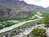
The Rio Grande
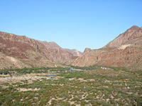
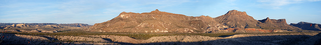
Approaching the Teepees
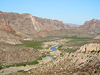
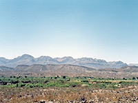
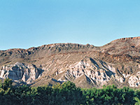
Viewpoint near La Cuesta
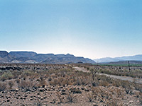
Steep hills along FM 170
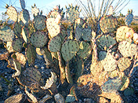
Opuntia and ocotillo
Contrabando Canyon, at sunset
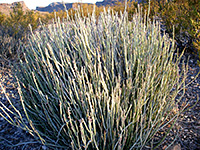
Candelilla
West Contrabando Trailhead
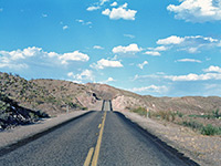
Road near the east entrance
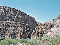
Cliffs in Mexico, south of the river
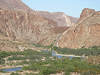
The River Road
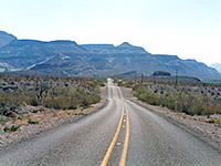
FM 170, approaching the mountains from the west
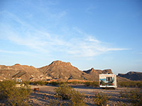
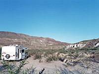
Camping area by the Rio Grande
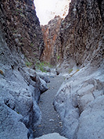
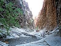
A narrow section of Closed Canyon
Cliffs along the River Road
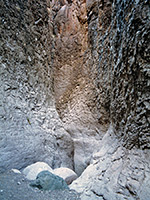
Passageway in Closed Canyon
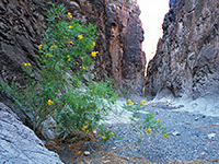
Flowers in Closed Canyon
Entrance to Closed Canyon
Closed Canyon
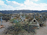
Terlingua cemetery
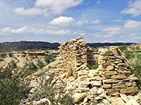
Ruin at Terlingua
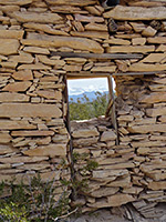
Wall and window
Related Photographs:
Rancherias Canyon
-
Chihuahuan Desert
-
Empty roads
-
Opuntia
-
Rio Grande
-
RVs
Back to Top
All Contents © Copyright The American Southwest
|
Comments and Questions
|
Contribute
|
Affiliate Marketing Disclosure
|
Site Map