Home
|
Parks
|
Trails
|
Plants
|
Canyons
Maps
|
Landscapes
|
Site Map
|
Whats New?
|
More...
×
General Pages
Home
Parks
Trails
Plants
Slot Canyons
Maps
Landscapes
Itineraries
Site Map
What's New?
More pages...
States
Arizona
California
Colorado
Idaho
Nevada
New Mexico
Oregon
Texas
Utah
Wyoming
MENU
ARIZONA
CALIFORNIA
COLORADO
IDAHO
NEVADA
NEW MEXICO
OREGON
TEXAS
UTAH
WYOMING
TEXAS
MAPS
|
PARKS
|
TRAILS
|
HOTELS
All Texas Locations...
NPS
Alibates Flint Quarries
Amistad
Big Bend
Fort Davis
Guadalupe Mountains
Lake Meredith
Padre Island
San Antonio Missions
OTHER PLACES
Big Bend Ranch State Park
Black Gap WMA
Caprock Canyons State Park
Davis Mountains State Park
Dinosaur Valley State Park
Enchanted Rock SNA
Fort Leaton SHS
Franklin Mountains State Park
Hueco Tanks State Park
Langtry
Lost Maples SNA
Monahans Sandhills State Park
Odessa Meteor Crater
Palmetto State Park
Palo Duro Canyon State Park
Pedernales Falls State Park
Texas site map
Photographs of the Southeast, Big Bend National Park
Texas
>
Big Bend National Park
>
The Southeast
> Photographs
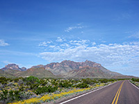
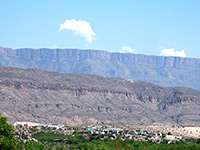
Chisos Mountains
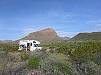
Nugent Mountain primitive campsite
Highway 118
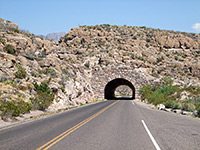
Tunnel on Hwy 118
Boquillas del Carmen
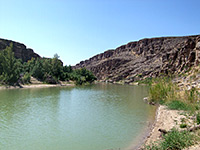
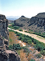
Rio Grande, by Daniels Ranch
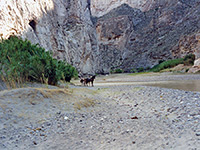
Horses in Boquillas Canyon
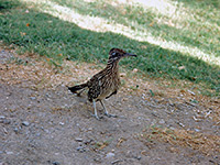
Road runner
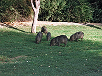
Javelinas at Rio Grande Village campsite
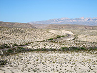
Tributary of Boquillas Canyon
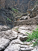
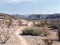
Start of the Boquillas side canyon
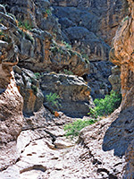
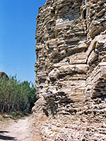
Passage in the Boquillas side canyon
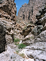
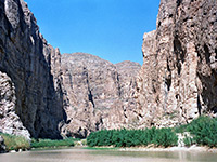
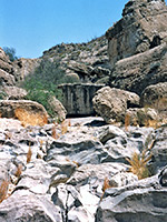
Half a mile into Boquillas Canyon
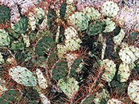
Opuntia
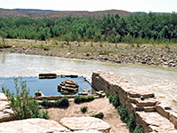
The hot springs
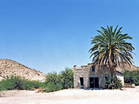
Hot Springs Village
The trail
Hot Springs Canyon
Cliffs near Hot Springs Village
Side canyon
Related Photographs:
All Big Bend photos
-
Birds
-
Hot springs
-
Mammals
-
Rio Grande
-
Texas canyons
-
Tunnels
Back to Top
All Contents © Copyright The American Southwest
|
Comments and Questions
|
Contribute
|
Affiliate Marketing Disclosure
|
Site Map