Top Grand Canyon Trails: 8, Lava Falls Trail
Highlights of the West > Grand Canyon Trails
 | |||
|
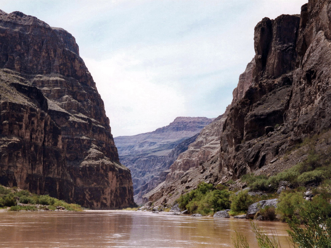
The Lava Falls Trail in the Tuweep region of the Grand Canyon is one of the steepest and most strenuous paths in any national park, descending over 2,500 feet in 1.5 miles, partly down unstable slopes of scree and lava blocks - from the flat canyon rim, down to Lava Falls Rapids on the Colorado River. This is a very remote region, at least 65 miles from the nearest paved road, though is accessible to most vehicles during good weather conditions. Primitive camping is available at the nearby Toroweap Overlook.
Length 1.5 miles (2.4 km), elevation change 2,540 feet (774 meters)
Trail description
Length 1.5 miles (2.4 km), elevation change 2,540 feet (774 meters)
Trail description

All Contents © Copyright The American Southwest | Comments and Questions | Contribute | Affiliate Marketing Disclosure | Site Map