Home
|
Parks
|
Trails
|
Plants
|
Canyons
Maps
|
Landscapes
|
Site Map
|
Whats New?
|
More...
×
General Pages
Home
Parks
Trails
Plants
Slot Canyons
Maps
Landscapes
Itineraries
Site Map
What's New?
More pages...
States
Arizona
California
Colorado
Idaho
Nevada
New Mexico
Oregon
Texas
Utah
Wyoming
MENU
ARIZONA
CALIFORNIA
COLORADO
IDAHO
NEVADA
NEW MEXICO
OREGON
TEXAS
UTAH
WYOMING
CALIFORNIA
MAPS
|
PARKS
|
TRAILS
|
HOTELS
All California Locations...
NPS
Cabrillo
Death Valley
Devils Postpile
Golden Gate
Joshua Tree
Kings Canyon
Lassen Volcanic
Lava Beds
Manzanar
Mojave
Muir Woods
Pinnacles
Point Reyes
Redwood
Santa Monica Mountains
Sequoia
Whiskeytown-Shasta-Trinity
Yosemite
OTHER PLACES
Alabama Hills
Algodones Dunes
Ancient Bristlecone Pine Forest
Andrew Molera State Park
Antelope Valley Poppy Reserve
Anza-Borrego Desert State Park
Big Basin Redwoods State Park
Big Sur
Bodie State Historical Park
Box Canyon
Calaveras Big Trees State Park
Calico Ghost Town
California Missions
Castle Crags State Park
Crowley Lake Columns
Cuyamaca Rancho State Park
Del Norte Coast Redwoods State Park
Donner Memorial State Park
Eastern Sierra
Emerald Bay State Park
Estero Bluffs State Park
Fossil Falls
Garrapata State Park
Gaviota State Park
Giant Sequoia National Monument
Griffith Park
Grizzly Creek Redwoods State Park
Harmony Headlands State Park
Hat Creek
Hot Creek
Humboldt Lagoons State Park
Humboldt Redwoods State Park
Jacumba Natural Area
Jedediah Smith Redwoods State Park
Julia Pfeiffer Burns State Park
La Jolla Tide Pools
Lake Tahoe
Lost Coast
MacKerricher State Park
Mammoth Lakes
McArthur-Burney Falls State Park
Mendocino Headlands State Park
Mojave Trails National Monument
Mono Lake
Montaña de Oro State Park
Montgomery Woods SNR
Morro Bay State Park
Mount Shasta
Palm Springs
Pinnacles NNL
Point Arena
Point Cabrillo Light Station
Point Lobos State Natural Reserve
Prairie Creek Redwoods State Park
Rainbow Basin NNL
Red Rock Canyon State Park
Route 66
Saddleback Butte State Park
Salt Point State Park
Salton Sea
San Gabriel Mountains
San Bernardino Mountains
Sand to Snow National Monument
Sonoma Coast State Park
Sue-meg State Park
Tomales Bay State Park
Torrey Pines State Reserve
Trinidad State Beach
Vasquez Rocks
Volcanic Tableland
California site map
Photographs of the South, Death Valley National Park
California
>
Death Valley National Park
>
The South
> Photographs
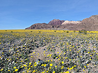
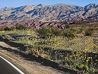
Desert sunflowers
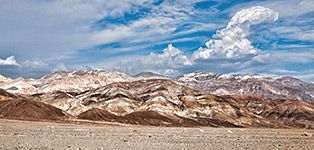
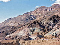
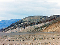
Colorful hills
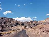
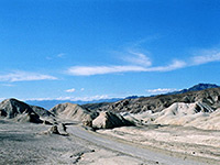
West Side Road
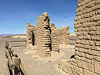
Harmony Borax Works
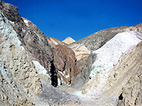
Canyon near Artist's Drive
Along CA 127
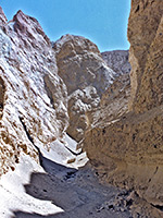
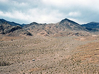
View from the top of Desolation Canyon
Artist's Palette
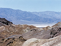
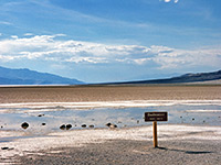
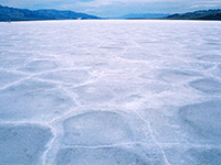
Salt flats in in July
Artist's Drive
114 °F
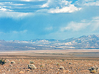
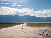
Death Valley
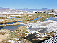
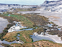
Salt Creek - view upstream
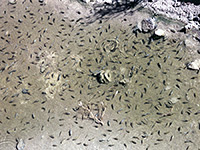
Pupfish
Salt Creek
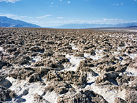
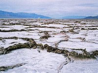
Devil's Golf Course
125 °F
Desolation Canyon
Salt formations
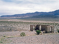
Ruins of Ashford Mill
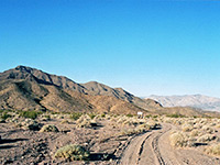
Twenty Mule Canyon
Eroded hillside
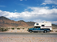
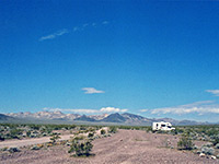
RV in the desert
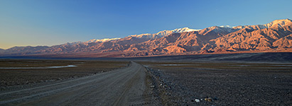
Dirt track
Salt flats
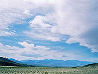
Clouds
Primitive camping
Wildflowers beside Hwy 190
Related Photographs:
All Death Valley photographs
-
California creeks
-
Natural bridges
-
RVs
Back to Top
All Contents © Copyright The American Southwest
|
Comments and Questions
|
Contribute
|
Affiliate Marketing Disclosure
|
Site Map