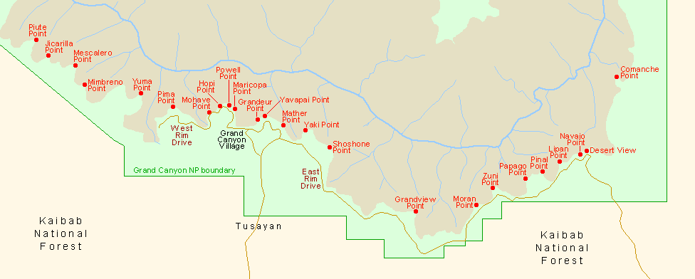
Maricopa Point, Grand Canyon National Park
Arizona > Grand Canyon National Park > South Rim > Viewpoints > Maricopa Point
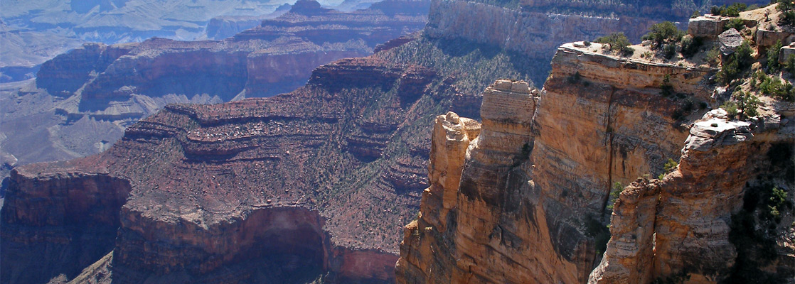
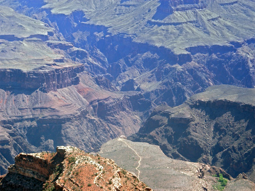
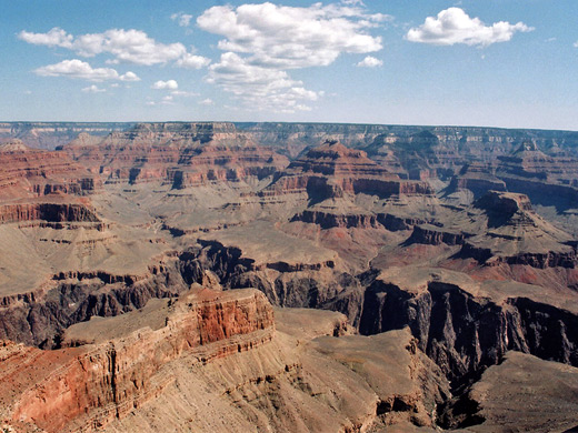
The views from Maricopa encompass over 180° of the Grand Canyon, with no significant obstructions between here and the river. Several miles of the Tonto Trail are visible, snaking around Horn Creek and Dana Butte, as are some parts of the Bright Angel Trail down Garden Creek, though most is hidden by the Battleship formation.
Just west of Maricopa Point are the remains of Orphan Mine, founded in 1893 and at various times a source of copper, silver and vanadium, before finding greatest value as a uranium mine from 1956 to 1969, when for a time it was the richest source in the whole US. Fears of radioactive residues have resulted in a portion of the rim trail past the spoil heaps to be closed and diverted around the perimeter fence, adding half a mile to the formerly short walk west to the next overlook, Powell Point. At the canyon edge stands the winch engine and several abandoned buildings; the actual shafts and tunnels were 1,000 feet lower down, in a mineralized section of the Coconino sandstone layer.

All Contents © Copyright The American Southwest | Comments and Questions | Contribute | Affiliate Marketing Disclosure | Site Map