Highlights:
Meadows, lagoons and riparian woodland bordering the Verde River, on the north edge of Cottonwood; camping, biking, canoeing and fishing are the main activities, plus hiking along several short trails by the river, and longer paths into the adjacent hills
Nearby town:
Cottonwood, 1 mile
Management:
Location:
Seasons:
All year
Rating (1-5):
★★★★★
Weather:

Featured Hotel
Best Western Cottonwood Inn
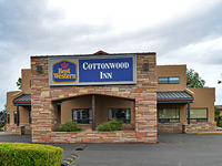 Just 3 miles from the state park, the Best Western is an AAA Three Diamond-rated hotel close to shops and restaurants in the center of Cottonwood
Check Rates
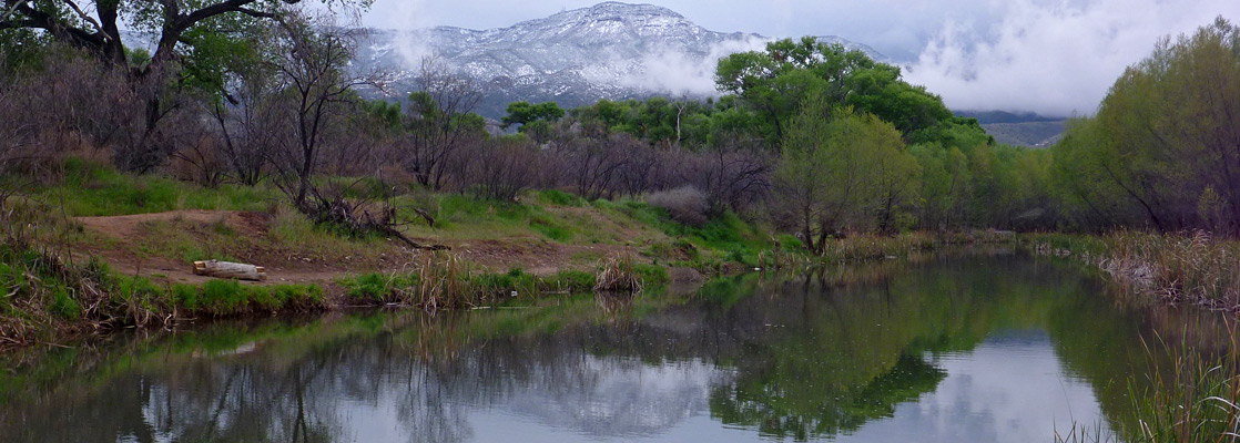
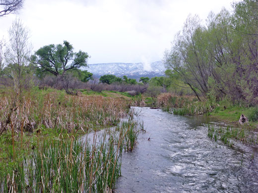
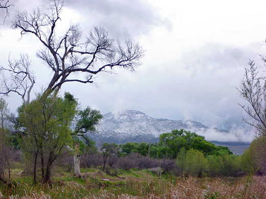
Near the twin towns of Clarkdale and Cottonwood in central Arizona, Dead Horse Ranch State Park occupies a stretch of wooded, riparian land between the Verde River and the arid slopes that rise up to the northeast - a pleasant if unremarkable landscape that also includes meadows, streams and three artificially maintained lagoons, all within sight of the much higher peaks of the Black Hills to the south.
This is primarily a park for recreation, especially camping - offering a tent site, an RV campground and camping cabins - and fishing, for catfish, trout, bass and bluegill. Other activities are canoeing, kayaking, picnicking, horse riding, cycling and bird watching, with nearly 200 species being observed here.
Several short hike and/or bike trails wind through the overgrown terrain near the river, linking with longer routes into the hills (part of the Coconino National Forest), and one extended cross-country trail that leads all the way to Red Rock State Park near Sedona. The park is certainly popular, though not so interesting for day use visitors. It is named after a ranch that once stood here, a property that when purchased in the 1940s (by the Ireys family from Minnesota), had a dead horse lying outside.
Dead Horse Ranch Table of Contents
- Map of Dead Horse Ranch State Park
- Facilities of the state park
- Hiking in the state park
- Nearby places
- Similar places
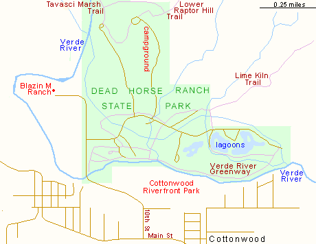
Map of Dead Horse Ranch State Park
State Park Facilities
The approach to Dead Horse Ranch State Park is from N 10th Street in Cottonwood, a road which crosses the Verde River and dead ends at Blazin M Ranch, a dining and entertainment establishment. A right turn soon after the bridge passes the state park entrance station, often unstaffed in which case payment ($7 per vehicle for day use in 2024) is via self-service machines near the campground, then continues east another mile to the lagoons, ending at a group of office buildings, just before the point where the hills encroach all the way to the river banks. En route are several short side roads, plus trailheads, picnic areas, parking areas and other facilities.
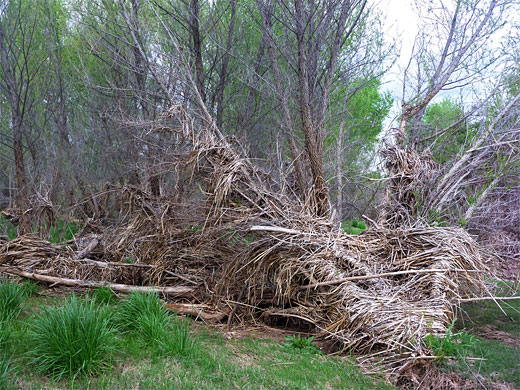
State Park Trails
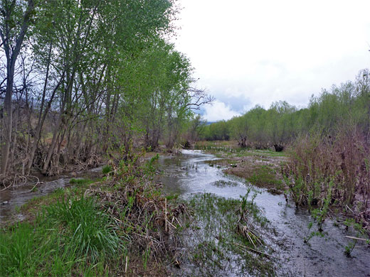
The Verde River corridor is accessed by a number of paths, principally the Verde River Greenway Trail, named for a protected section of the river that extends several more miles either side of the state park. The surroundings are quite overgrown, with bushes, willow and tall cottonwood trees, part of a belt of greenery about 500 feet across. The river often splits into two or more channels, and is very prone to flooding, as shown by driftwood and other debris piled against tree trunks several feet above the normal water level in this rather wide valley. The south side of the river has a similar appearance to the section within the state park, and may be seen without payment by walking in from a parking area near a sports center (Cottonwood Riverfront Park), a short distance along 10th Street.
Dead Horse Ranch - Nearby Places
- Granite Mountain (43 miles) - rugged granite peak near Prescott
- Tuzigoot National Monument (4 miles) - Sinagua Indian ruin on a small hill beside the Verde River
Dead Horse Ranch - Similar Places
- Palmetto State Park, Texas - varied watery environments along the San Marcos River
- Red Rock State Park, Arizona - wooded stretch of Oak Creek south of Sedona
All Contents © Copyright The American Southwest | Comments and Questions | Contribute | Affiliate Marketing Disclosure | Site Map